Transport Functions
Port
Rail
Road
Hub Profile
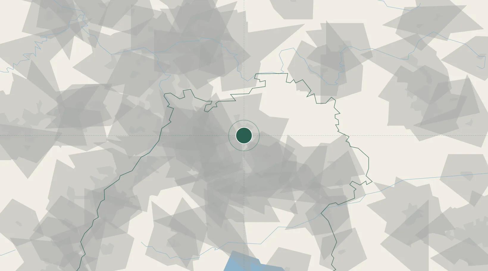
Place type
District seat
Region
Baden-Wurttemberg
Population
120,733
Time zone
Europe/Berlin
Elevation
173 m
Logistics facilities
1
Location
Nearby Logistics Neighbours
Cities
- 1Erlenbach (Heilbronn)4 km
- 2Kochendorf5 km
- 3Eberstadt8 km
- 4Talheim9 km
- 5Oedheim9 km
Airports
- 1Adolf Würth Airport42 km
- 2Stuttgart Airport52 km
- 3Niederstetten Army Air Base60 km
- 4Mannheim-City Airport61 km
- 5Karlsruhe Baden-Baden Airport93 km
Trade Zones
- 1ZFU Neuhof126 km
- 2ZFU Hautepierre128 km
- 3ZFU La Cité Behren-lès-Forbach166 km
- 4ZFU Mulhouse209 km
- 5ZFU Metz222 km
DatabookThe Record of Consolidated Knowledge
Germany beyond logistics?