Transport Functions
Road
Multimodal
Hub Profile
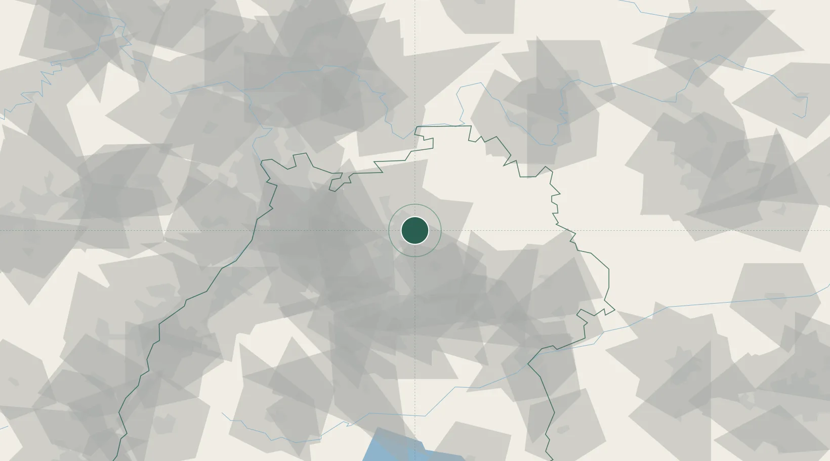
Place type
Local administrative seat
Region
Baden-Wurttemberg
Population
3,336
Time zone
Europe/Berlin
Elevation
193 m
Location
Nearby Logistics Neighbours
Cities
- 1Erlenbach (Heilbronn)4 km
- 2Neuenstadt am Kocher8 km
- 3Heilbronn8 km
- 4Oedheim9 km
- 5Kochendorf9 km
Airports
- 1Adolf Würth Airport34 km
- 2Niederstetten Army Air Base53 km
- 3Stuttgart Airport54 km
- 4Mannheim-City Airport67 km
- 5Karlsruhe Baden-Baden Airport100 km
Trade Zones
- 1ZFU Neuhof133 km
- 2ZFU Hautepierre135 km
- 3ZFU La Cité Behren-lès-Forbach174 km
- 4ZFU Mulhouse215 km
- 5ZFU Metz230 km
DatabookThe Record of Consolidated Knowledge
Germany beyond logistics?