UN/LOCODE hub · Germany
DENNT

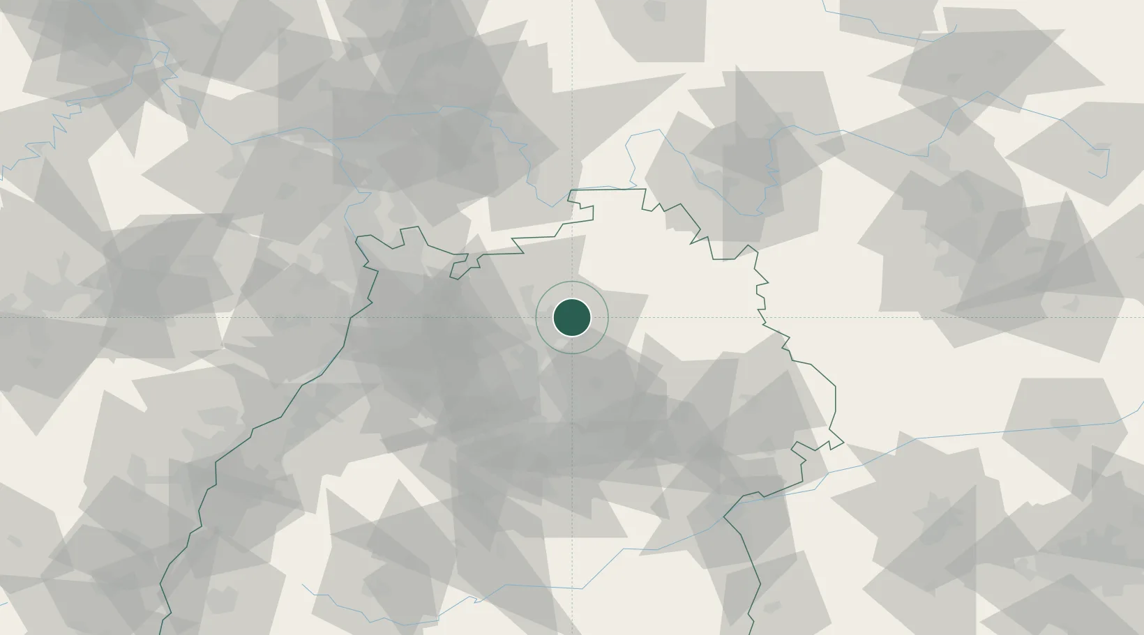
Neuenstadt am Kocher

49.2333°, 9.3333°
9,312
Population
2
Transport functions

Transport Functions

Rail
Road
UN/LOCODE

Hub Profile

Place type
Populated place
GeoNames
Region
Baden-Wurttemberg
GeoNames
Population
9,312
GeoNames
Time zone
Europe/Berlin
GeoNames
Elevation
178 m
GeoNames

Location

Location of DENNT
Natural Earth 10m (public domain) · Baden-Wurttemberg · DENNT · 49.23, 9.33GoogleOSMYandex

Nearby Logistics Neighbours

Cities
  1. 1Oedheim6 km
  2. 2Möglingen7 km
  3. 3Neudenau7 km
  4. 4Eberstadt8 km
  5. 5Siglingen8 km
Nearest neighbours — logibook spatial index (haversine) over the source coordinates
Ports
  1. 1Bruxelles399 km
  2. 2Antwerpen414 km
  3. 3Bremen436 km
  4. 4Dordrecht438 km
  5. 5Oldenburg439 km
Nearest neighbours — logibook spatial index (haversine) over the source coordinates
Airports
  1. 1Adolf Würth Airport35 km
  2. 2Niederstetten Army Air Base49 km
  3. 3Stuttgart Airport61 km
  4. 4Mannheim-City Airport65 km
  5. 5Frankfurt-Egelsbach Airport95 km
Nearest neighbours — logibook spatial index (haversine) over the source coordinates
Trade Zones
  1. 1ZFU Neuhof138 km
  2. 2ZFU Hautepierre139 km
  3. 3ZFU La Cité Behren-lès-Forbach175 km
  4. 4ZFU Mulhouse221 km
  5. 5Luxembourg Free Port229 km
Nearest neighbours — logibook spatial index (haversine) over the source coordinates
DatabookThe Record of Consolidated Knowledge
Germany beyond logistics?
Browse databook

All Sources

LocationsUN/LOCODE
UN/LOCODE — free
LocationsGeoNames
CC BY 4.0
Portsthe NGA World Port Index
Public domain (US gov)
AirportsOurAirports
Public domain
Trade Zonesthe World Bank SEZ database
CC BY 4.0
Trade ZonesOpen Zone Map
CC BY
← Germany locations