Medium airport · Germany
Niederstetten Army Air BaseETHN
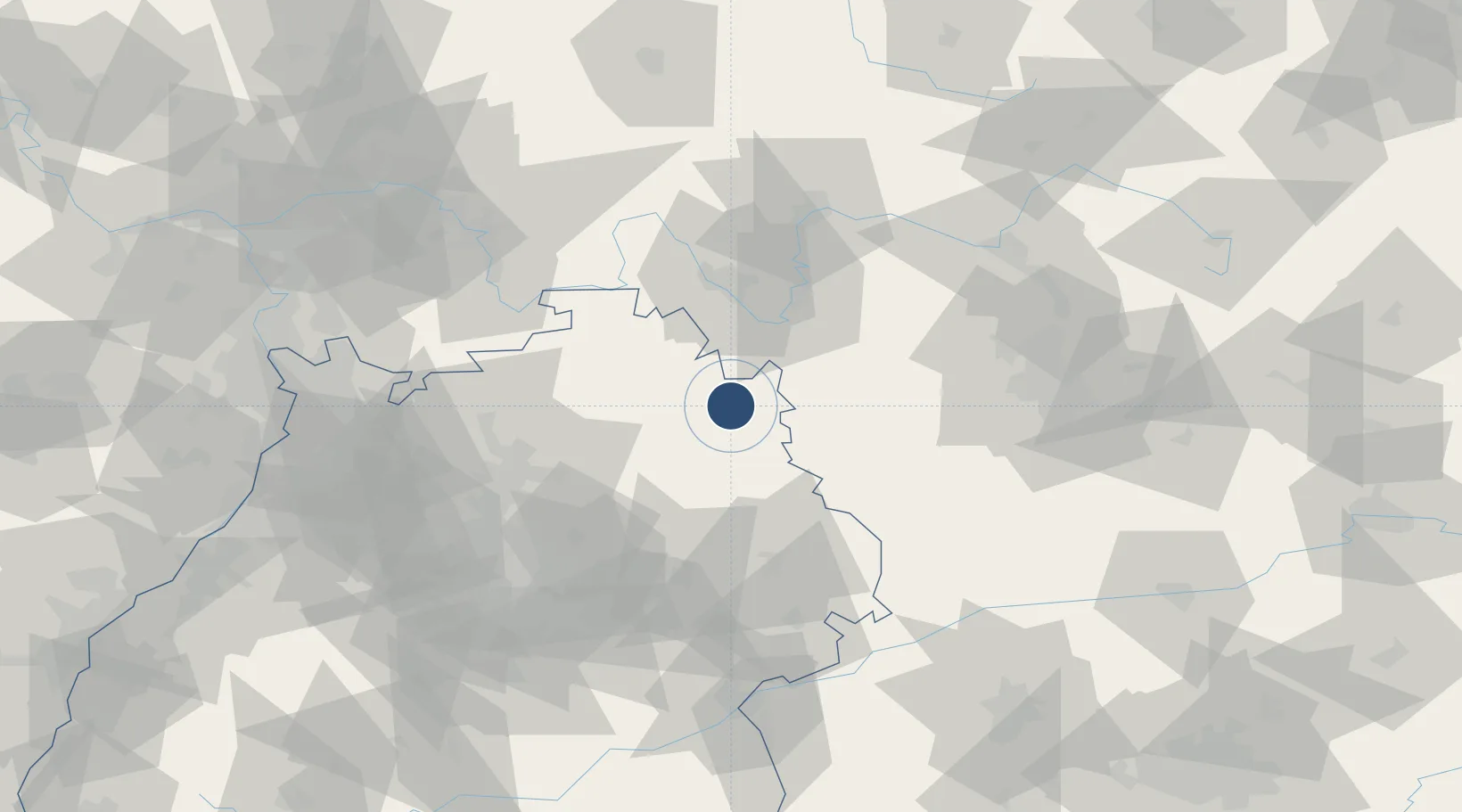
49.3916°, 9.9567°
3,320 ft
Longest runway
1
Runways
1,536 ft
Elevation
Runway & Layout

Radio Frequencies
TWR
122.1 MHz
Stetten Tower
AFIS
119.15 MHz
Langen Information
AFIS
128.95 MHz
Langen Information
INFO
119.78 MHz
Stetten Radio
Navaids
NSN NDB Niederstetten 311 kHz
Runways · 1
| Runway | Dimensions | Surface | True heading | Lit |
|---|---|---|---|---|
| 07/25 | 3,320 × 98ft | Asphalt | 075° | ✓ |
Airport Specifications
ICAO code
ETHN
Airport class
Medium airport
Scheduled service
No
Runway surface
Asphalt
Served city
Niederstetten
Location
Nearby Logistics Neighbours
Airports
- 1Adolf Würth Airport33 km
- 2Nuremberg Airport82 km
- 3Bamberg-Breitenau Airfield91 km
- 4Stuttgart Airport95 km
- 5Mannheim-City Airport105 km
Cities
- 1Niederstetten3 km
- 2Schrozberg7 km
- 3Weikersheim11 km
- 4Mulfingen14 km
- 5Igersheim16 km
Trade Zones
- 1ZFU Neuhof186 km
- 2ZFU Hautepierre188 km
- 3ZFU La Cité Behren-lès-Forbach221 km
- 4ZFU Mulhouse266 km
- 5Luxembourg Free Port271 km
DatabookThe Record of Consolidated Knowledge
Germany beyond logistics?