Transport Functions
Rail
Road
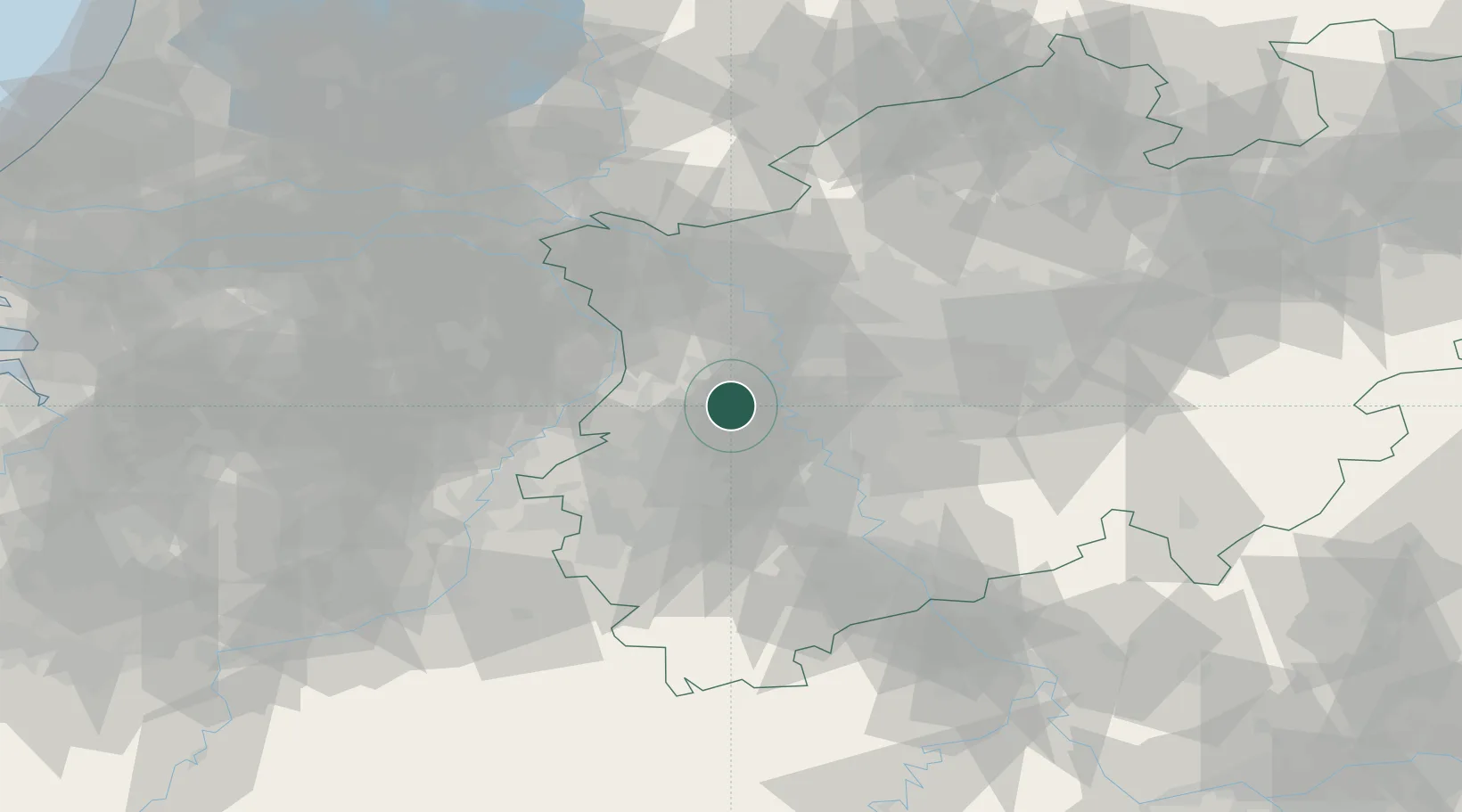
Hub Profile
Place type
Local administrative seat
Region
North Rhine-Westphalia
Population
51,843
Time zone
Europe/Berlin
Elevation
43 m
Location
Nearby Logistics Neighbours
Cities
- 1Krefeld-Uerdingen8 km
- 2Mönchengladbach11 km
- 3Krefeld12 km
- 4Neuss13 km
- 5Düsseldorf14 km
Airports
- 1Mönchengladbach Airport5 km
- 2Düsseldorf Airport15 km
- 3Weeze (Niederrhein) Airport47 km
- 4Nörvenich Air Base49 km
- 5Geilenkirchen Air Base49 km
Trade Zones
- 1Freeport of Duisburg20 km
- 2Rheinische Revier SWZ42 km
- 3Luxembourg Free Port182 km
- 4ZFU Ronde Couture213 km
- 5Freeport of Emden234 km
DatabookThe Record of Consolidated Knowledge
Germany beyond logistics?