Transport Functions
Rail
Road
Hub Profile
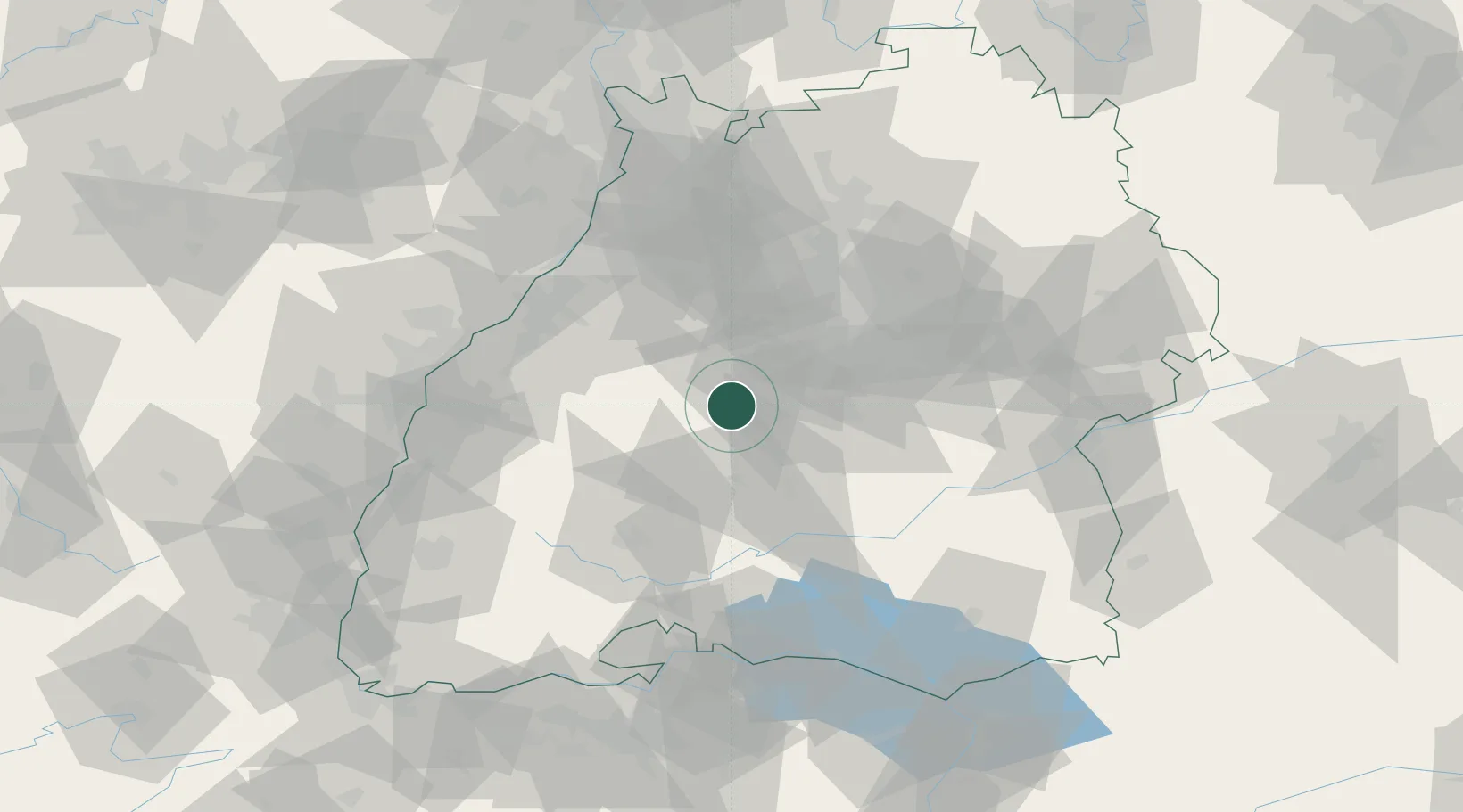
Region
BW
Location
Nearby Logistics Neighbours
Cities
- 1Rottenburg am Neckar10 km
- 2Rohrdorf (Schwarzwald)11 km
- 3Ebhausen13 km
- 4Horb15 km
- 5Gärtringen16 km
Ports
- 1Bruxelles415 km
- 2Antwerpen437 km
- 3Porto Di Lido-Venezia440 km
- 4Nogaro449 km
- 5Porto Di Chioggia450 km
Airports
- 1Stuttgart Airport35 km
- 2Karlsruhe Baden-Baden Airport63 km
- 3Donaueschingen-Villingen Airfield65 km
- 4Mengen-Hohentengen Airfield65 km
- 5Lahr Airport76 km
Trade Zones
- 1ZFU Neuhof79 km
- 2ZFU Hautepierre84 km
- 3ZFU Mulhouse140 km
- 4ZFU La Cité Behren-lès-Forbach157 km
- 5ZFU Belfort179 km
DatabookThe Record of Consolidated Knowledge
Germany beyond logistics?