Transport Functions
Port
Rail
Road
Multimodal
Hub Profile
Place type
District seat
Region
North Rhine-Westphalia
Population
172,108
Time zone
Europe/Berlin
Elevation
67 m
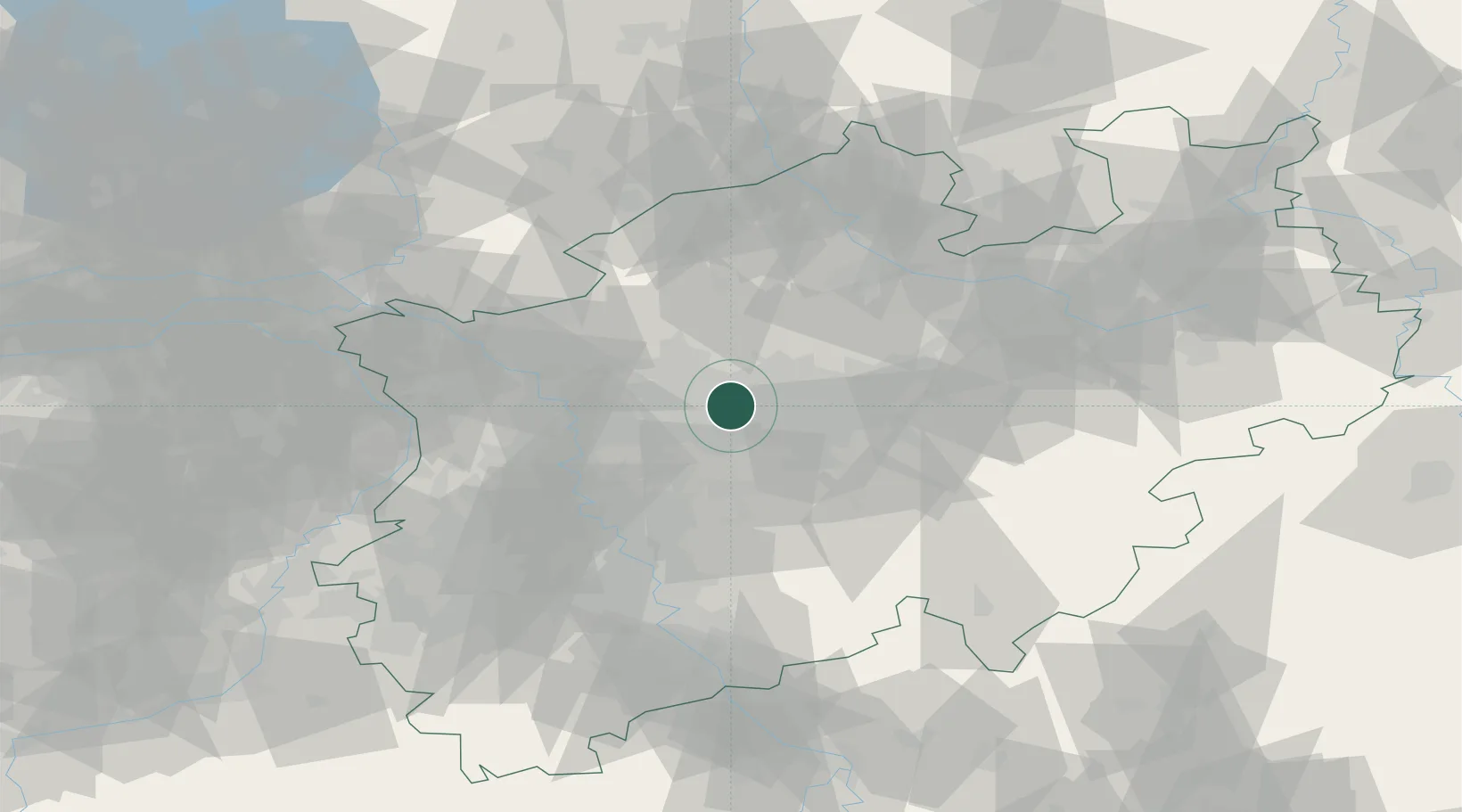
Location
Nearby Logistics Neighbours
Cities
- 1Wanne-Eickel4 km
- 2Holthausen5 km
- 3Castrop-Rauxel6 km
- 4Recklinghausen8 km
- 5Gelsenkirchen8 km
Airports
- 1Dortmund Airport28 km
- 2Düsseldorf Airport43 km
- 3Mönchengladbach Airport61 km
- 4Münster Osnabrück Airport73 km
- 5Weeze (Niederrhein) Airport75 km
Trade Zones
- 1Freeport of Duisburg45 km
- 2Rheinische Revier SWZ92 km
- 3Freeport of Emden199 km
- 4Freeport of Bremerhaven (Freihafen Bremerhaven)202 km
- 5Luxembourg Free Port224 km
DatabookThe Record of Consolidated Knowledge
Germany beyond logistics?