UN/LOCODE hub · Canada
CATWN

Thawwassen

49.0000°, -123.0667°
2
Transport functions

Transport Functions

Port
Road
UN/LOCODE

Hub Profile

Region
BC
GeoNames

Location

Location of CATWN
Natural Earth 10m (public domain) · BC · CATWN · 49.00, -123.07GoogleOSMYandex

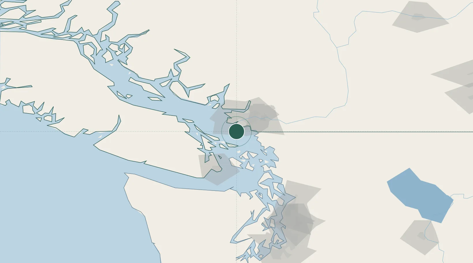
Nearby Logistics Neighbours

Cities
  1. 1Point Roberts2 km
  2. 2Robert's Bank10 km
  3. 3Delta13 km
  4. 4New Westminster20 km
  5. 5Vancouver21 km
Nearest neighbours — logibook spatial index (haversine) over the source coordinates
Ports
  1. 1Steveston17 km
  2. 2Blaine23 km
  3. 3Lyall Harbor24 km
  4. 4New Westminster25 km
  5. 5Cherry Point28 km
Nearest neighbours — logibook spatial index (haversine) over the source coordinates
Airports
  1. 1Point Roberts Airpark3 km
  2. 2Boundary Bay Airport9 km
  3. 3Vancouver International Seaplane Base21 km
  4. 4Vancouver International Airport23 km
  5. 5Mayne Island Seaplane Base24 km
Nearest neighbours — logibook spatial index (haversine) over the source coordinates
Trade Zones
  1. 1FTZ Vancouver Island28 km
  2. 2FTZ No. 128 Whatcom County43 km
  3. 3FTZ No. 129 Bellingham48 km
  4. 4FTZ No. 085 Everett127 km
  5. 5FTZ No. 005 Seattle160 km
Nearest neighbours — logibook spatial index (haversine) over the source coordinates
DatabookThe Record of Consolidated Knowledge
Canada beyond logistics?
Browse databook

All Sources

LocationsUN/LOCODE
UN/LOCODE — free
Portsthe NGA World Port Index
Public domain (US gov)
AirportsOurAirports
Public domain
Trade Zonesthe World Bank SEZ database
CC BY 4.0
Trade ZonesOpen Zone Map
CC BY
← Canada locations