Transport Functions
Port
Road
Hub Profile
Place type
Populated place
Region
Gelderland
Time zone
Europe/Amsterdam
Elevation
13 m
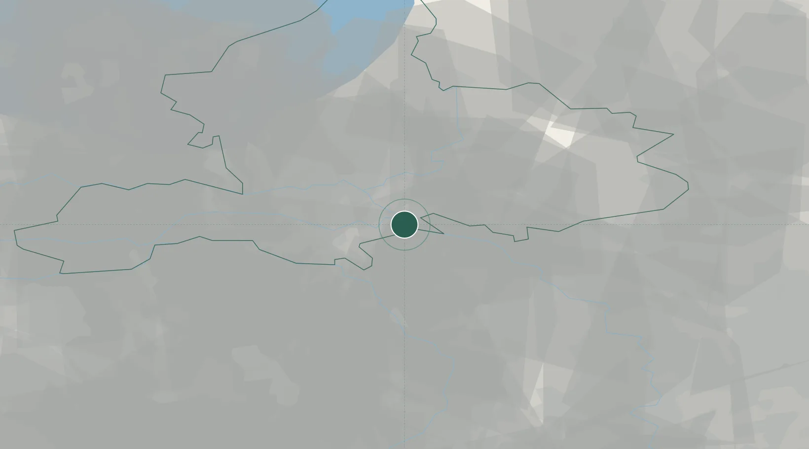
Location
Nearby Logistics Neighbours
Airports
- 1Deelen Air Base25 km
- 2Weeze (Niederrhein) Airport30 km
- 3Volkel Air Base33 km
- 4Eindhoven Airport66 km
- 5Twente Airport73 km
Trade Zones
- 1Freeport of Duisburg60 km
- 2Rheinische Revier SWZ109 km
- 3Freeport of Emden181 km
- 4Freeport of Bremerhaven (Freihafen Bremerhaven)229 km
- 5Luxembourg Free Port248 km
DatabookThe Record of Consolidated Knowledge
Netherlands beyond logistics?