Transport Functions
Rail
Road
Hub Profile
Region
NW
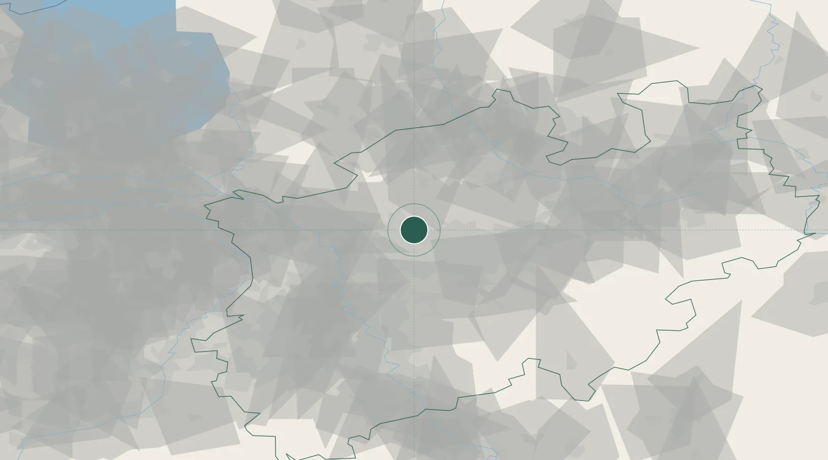
Location
Nearby Logistics Neighbours
Cities
- 1Brassert3 km
- 2Recklinghausen7 km
- 3Herten7 km
- 4Haltern8 km
- 5Dorsten12 km
Airports
- 1Dortmund Airport37 km
- 2Düsseldorf Airport49 km
- 3Münster Osnabrück Airport64 km
- 4Mönchengladbach Airport65 km
- 5Weeze (Niederrhein) Airport69 km
Trade Zones
- 1Freeport of Duisburg45 km
- 2Rheinische Revier SWZ99 km
- 3Freeport of Emden186 km
- 4Freeport of Bremerhaven (Freihafen Bremerhaven)194 km
- 5Luxembourg Free Port234 km
DatabookThe Record of Consolidated Knowledge
Germany beyond logistics?