Transport Functions
Rail
Road
Hub Profile
Place type
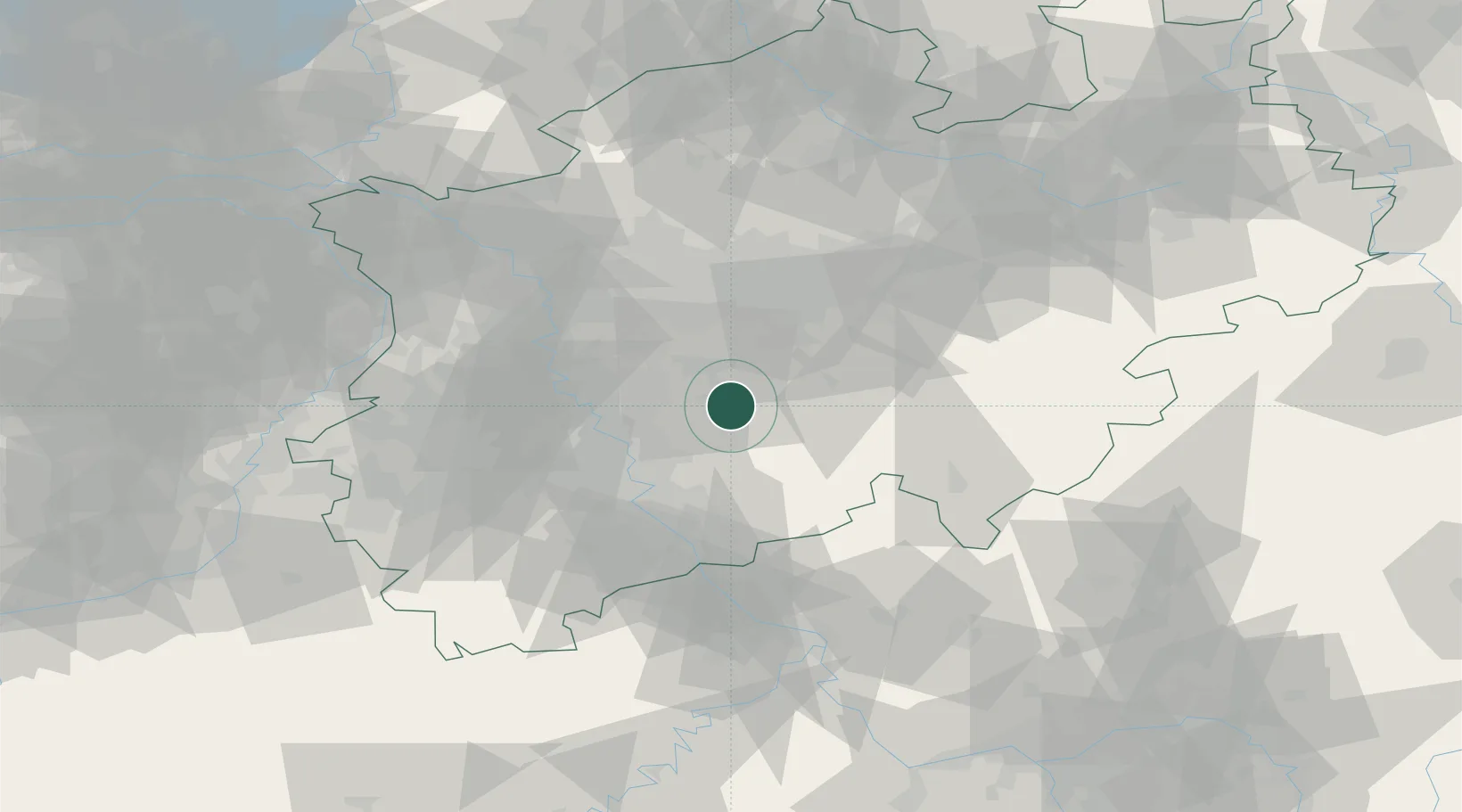
Populated place
Region
North Rhine-Westphalia
Time zone
Europe/Berlin
Elevation
344 m
Location
Nearby Logistics Neighbours
Cities
- 1Remscheid8 km
- 2Grimberg15 km
- 3Breckerfeld17 km
- 4Bergisch Gladbach22 km
- 5Overath22 km
Airports
- 1Cologne Bonn Airport34 km
- 2Düsseldorf Airport40 km
- 3Dortmund Airport46 km
- 4Mönchengladbach Airport56 km
- 5Nörvenich Air Base57 km
Trade Zones
- 1Freeport of Duisburg60 km
- 2Rheinische Revier SWZ70 km
- 3Luxembourg Free Port185 km
- 4ZFU La Cité Behren-lès-Forbach222 km
- 5ZFU Woippy-Metz237 km
DatabookThe Record of Consolidated Knowledge
Germany beyond logistics?