Large airport · Colombia

Alfonso Bonilla Aragon International AirportSKCL
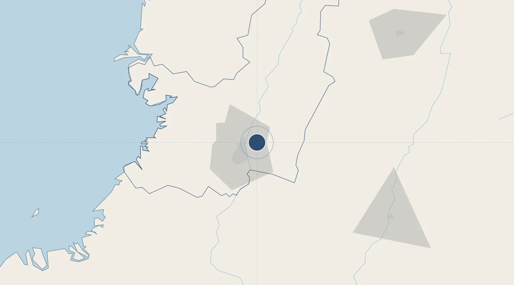
3.5427°, -76.3819°
9,842 ft
Longest runway
1
Runways
3,162 ft
Elevation

Runway & Layout

Alfonso Bonilla Aragon International Airport runway & taxiway layout
Runway & taxiway layout — OpenStreetMap (ODbL) / OurAirports

Radio Frequencies

ATIS
115.5 MHz
TWR
118.1 MHz
GND
121.9 MHz
APP
119.1 MHz
CALI APP
RDO
126.7 MHz
CALI RDO
OurAirports

Navaids

CLO VOR-DME Cali 115.50 MHz
CLO NDB Cali 210 kHz
PL NDB Palma 274 kHz
OurAirports

Runways · 1

RunwayDimensions SurfaceTrue headingLit
02/20 9,842 × 148ft Asphalt 010°
OurAirports

Airport Specifications

IATA code
CLO
OurAirports
ICAO code
SKCL
OurAirports
Airport class
Large airport
OurAirports
Scheduled service
Yes
OurAirports
Runway surface
Asphalt
OurAirports
Served city
Cali
OurAirports

Location

Location of SKCL
Natural Earth 10m (public domain) · Valle del Cauca · SKCL · 3.54, -76.38GoogleOSMYandex

Nearby Logistics Neighbours

Airports
  1. 1Heriberto Gíl Martínez Airport63 km
  2. 2Gerardo Tobar López Airport74 km
  3. 3El Eden Airport122 km
  4. 4Guillermo León Valencia Airport124 km
  5. 5Benito Salas Airport138 km
Nearest neighbours — logibook spatial index (haversine) over the source coordinates
Cities
  1. 1Yumbo15 km
  2. 2Candelaria17 km
  3. 3Guachene46 km
  4. 4Villa Rica51 km
  5. 5Caloto57 km
Nearest neighbours — logibook spatial index (haversine) over the source coordinates
Ports
  1. 1Buenaventura85 km
  2. 2Tumaco326 km
  3. 3Esmeraldas460 km
  4. 4Turbo506 km
  5. 5Covenas658 km
Nearest neighbours — logibook spatial index (haversine) over the source coordinates
Trade Zones
  1. 1Palmaseca Free Trade Zone2 km
  2. 2Pacific Free Trade Zone8 km
  3. 3Zona Franca Zonamerica29 km
  4. 4Permanente Del Cauca Permanent Free Trade Zone37 km
  5. 5Zona Franca Parque Sur43 km
Nearest neighbours — logibook spatial index (haversine) over the source coordinates
DatabookThe Record of Consolidated Knowledge
Colombia beyond logistics?
Browse databook

All Sources

AirportsOurAirports
Public domain
Portsthe NGA World Port Index
Public domain (US gov)
LocationsUN/LOCODE
UN/LOCODE — free
Trade Zonesthe World Bank SEZ database
CC BY 4.0
Trade ZonesOpen Zone Map
CC BY
InfrastructureOpenStreetMap
ODbL 1.0
← Colombia airports