UN/LOCODE hub · Colombia
COBUN
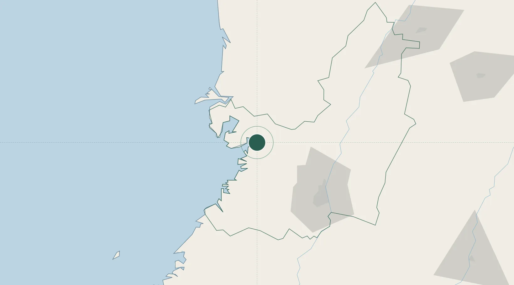
Buenaventura
3.8892°, -77.0418°
240,387
Population
2
Transport functions
3
Container terminals
Transport Functions
Port
Airport
Hub Profile
Place type
Provincial seat
Region
Valle del Cauca Department
Population
240,387
Time zone
America/Bogota
Elevation
19 m
Logistics facilities
21
Container terminals
3
Location
Nearby Logistics Neighbours
Cities
- 1Yumbo72 km
- 2Candelaria96 km
- 3Guachene111 km
- 4Galicia114 km
- 5Caloto119 km
Ports
- 1Tumaco299 km
- 2Esmeraldas433 km
- 3Turbo468 km
- 4Vacamonte625 km
- 5Balboa628 km
Airports
Trade Zones
DatabookThe Record of Consolidated Knowledge
Colombia beyond logistics?