Transport Functions
Rail
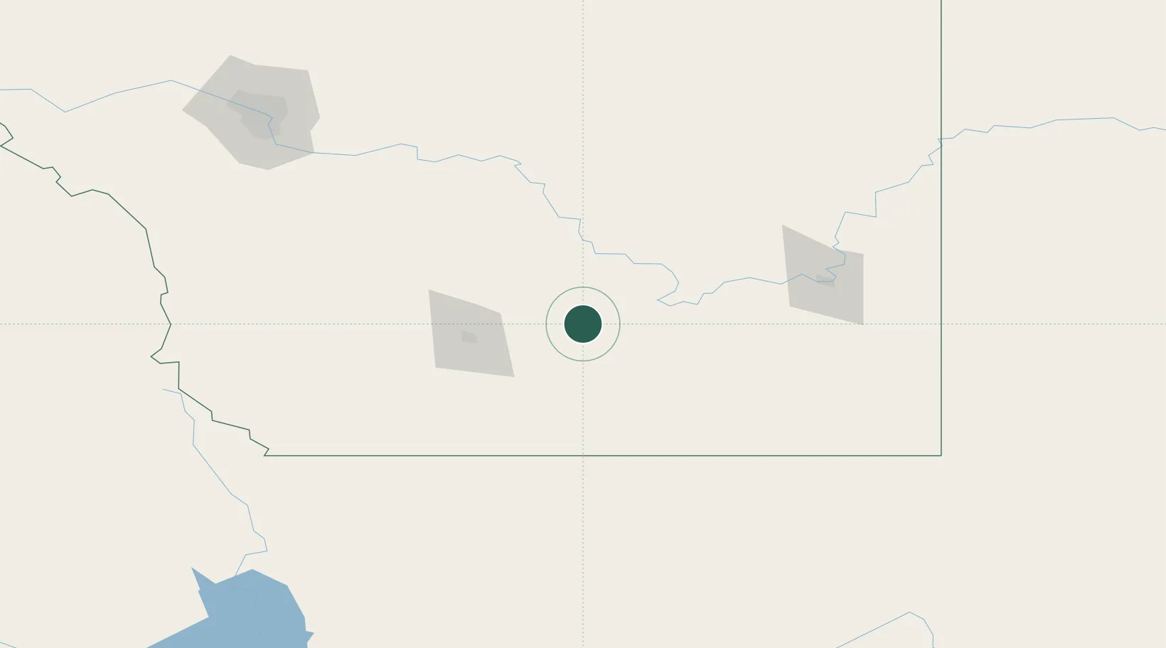
Hub Profile
Place type
Populated place
Region
Alberta
Population
8,163
Time zone
America/Edmonton
Elevation
813 m
Location
Nearby Logistics Neighbours
Cities
- 1Cranford15 km
- 2Grassy Lake33 km
- 3Iron Springs42 km
- 4New Dayton42 km
- 5Picture Butte46 km
Ports
- 1Mission City733 km
- 2Bellingham759 km
- 3Everett762 km
- 4Port Coquitlam768 km
- 5Mukilteo769 km
Airports
- 1Lethbridge County Airport50 km
- 2Medicine Hat Regional Airport106 km
- 3Cut Bank International Airport132 km
- 4Pincher Creek Airport136 km
- 5Calgary International Airport199 km
Trade Zones
- 1FTZ No. 187 Toole County131 km
- 2Calgary Region Inland Port196 km
- 3FTZ No. 088 Great Falls259 km
- 4FTZ No. 242 Boundary County358 km
- 5FTZ No. 275 Lansing420 km
DatabookThe Record of Consolidated Knowledge
Canada beyond logistics?