Transport Functions
Rail
Road
Multimodal
Hub Profile
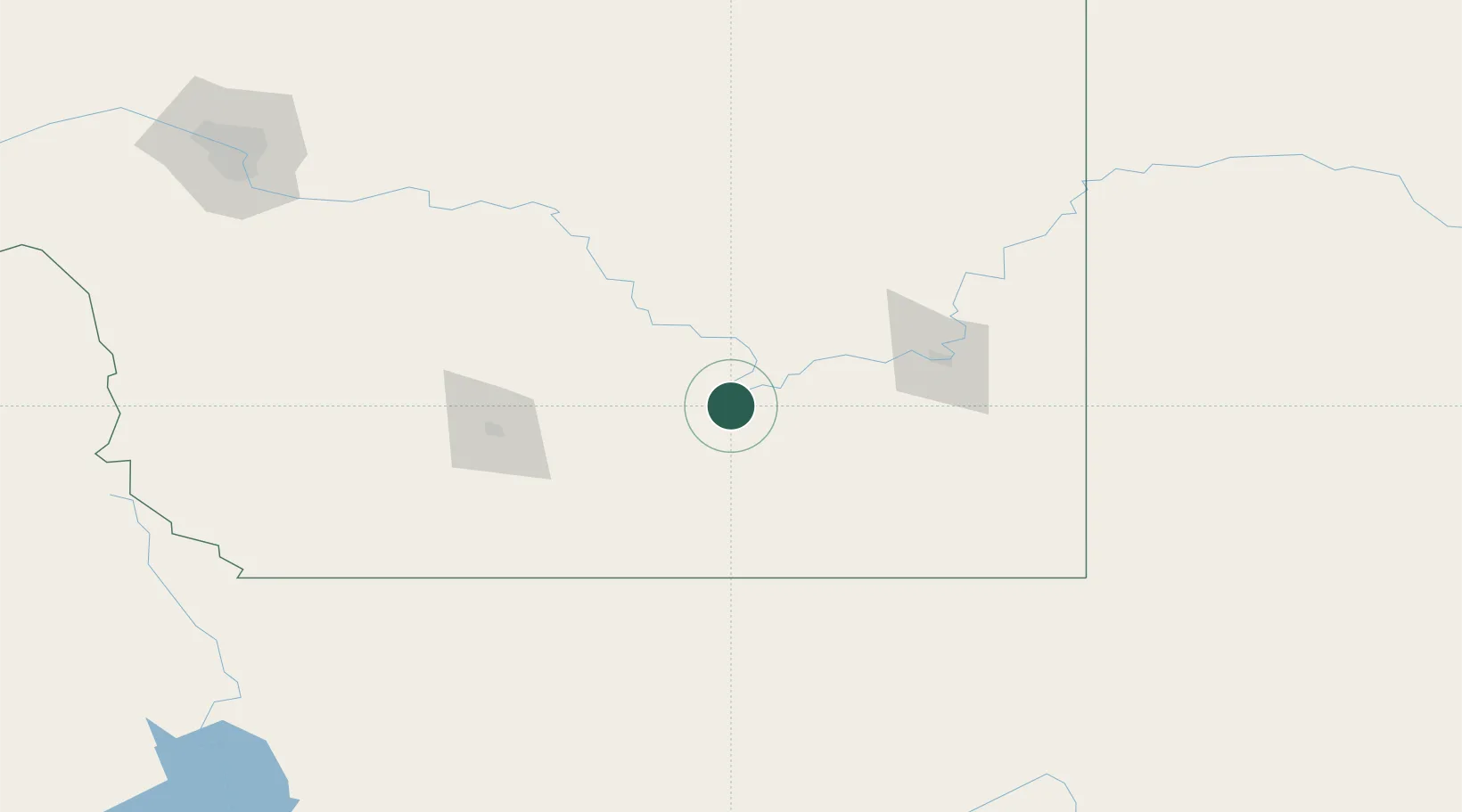
Place type
Locality
Region
Alberta
Time zone
America/Edmonton
Elevation
795 m
Location
Nearby Logistics Neighbours
Cities
- 1Taber33 km
- 2Cranford47 km
- 3Etzikom57 km
- 4New Dayton65 km
- 5Warner69 km
Ports
- 1Mission City766 km
- 2Bellingham792 km
- 3Everett794 km
- 4Port Coquitlam801 km
- 5Mukilteo802 km
Airports
- 1Medicine Hat Regional Airport74 km
- 2Lethbridge County Airport82 km
- 3Cut Bank International Airport143 km
- 4Pincher Creek Airport169 km
- 5Havre City County Airport200 km
Trade Zones
- 1FTZ No. 187 Toole County141 km
- 2Calgary Region Inland Port217 km
- 3FTZ No. 088 Great Falls258 km
- 4FTZ No. 242 Boundary County390 km
- 5FTZ No. 275 Lansing428 km
DatabookThe Record of Consolidated Knowledge
Canada beyond logistics?