Transport Functions
Rail
Road
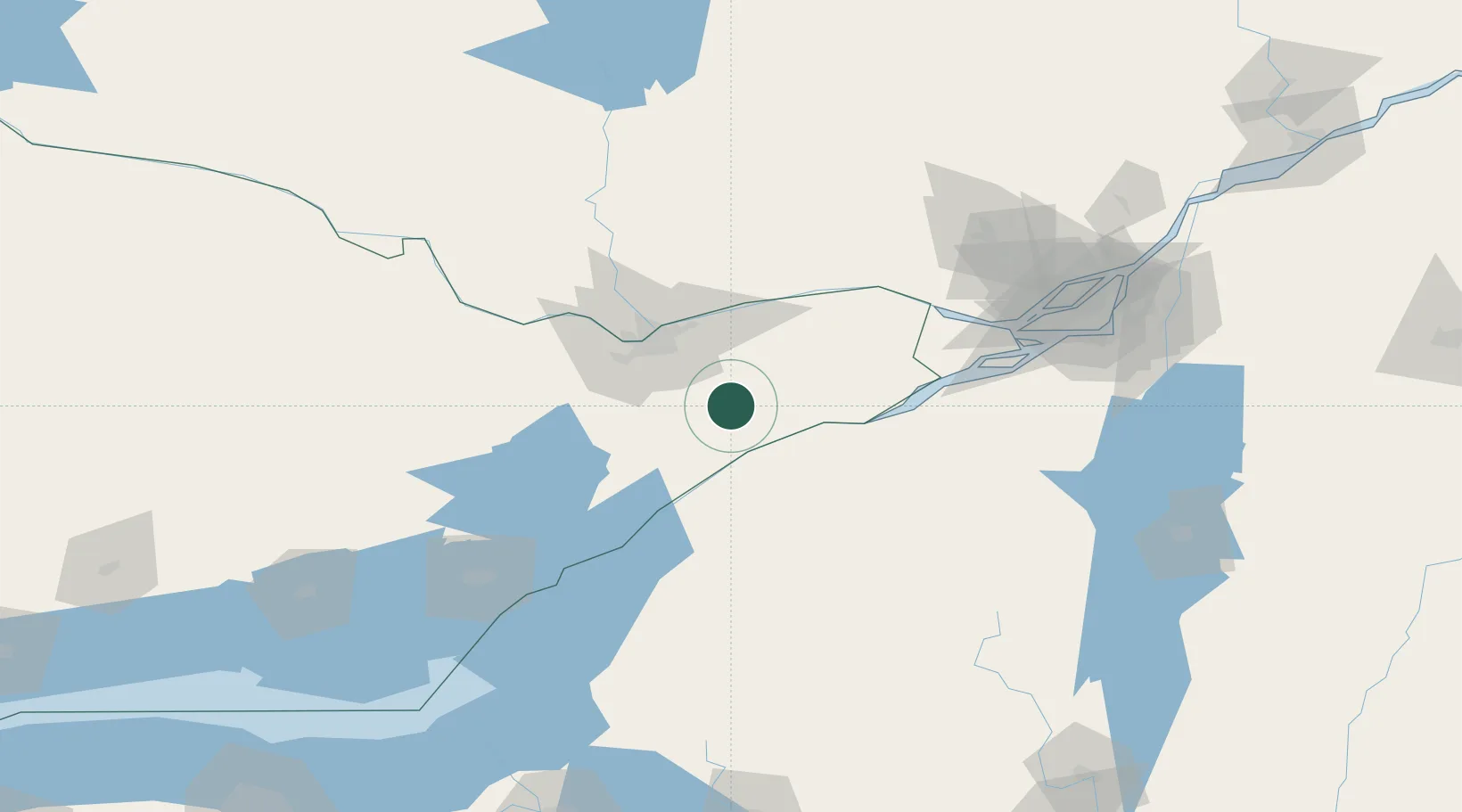
Hub Profile
Place type
Populated place
Region
Ontario
Population
2,394
Time zone
America/Toronto
Elevation
75 m
Location
Nearby Logistics Neighbours
Cities
- 1Inkerman7 km
- 2Kemptville24 km
- 3Ingleside29 km
- 4Moose Creek35 km
- 5Burritts Rapids36 km
Ports
- 1Cardinal34 km
- 2Lower Lakes Terminal40 km
- 3Ogdensburg44 km
- 4Hull48 km
- 5Ottawa48 km
Airports
Trade Zones
- 1FTZ No. 118 Ogdensburg43 km
- 2FTZ No. 109 Watertown129 km
- 3Greater Montreal Free Zone Center148 km
- 4FTZ No. 090 Onondaga205 km
- 5FTZ No. 172 Oneida County212 km
DatabookThe Record of Consolidated Knowledge
Canada beyond logistics?