Foreign Trade Zone · United States

FTZ No. 172 Oneida County Active
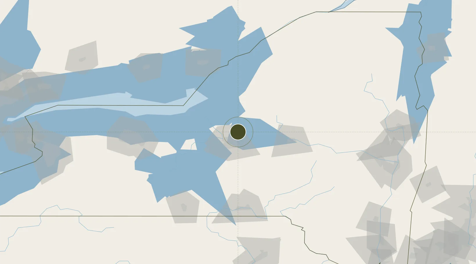
43.2379°, -76.0384°
46.3 km
Nearest port
15.1 km
Nearest airport

Gateway access

Nearest neighbours — logibook spatial index (haversine) over the source coordinates

Zone profile

Zone type
Foreign Trade Zone
Open Zone Map
Region
New York
Open Zone Map
Status
Active
Open Zone Map
Management
Public
Open Zone Map
Operator
County of Oneida
Open Zone Map
Legal framework
Foreign-Trade Zones Act
Open Zone Map

Location

Location of ozm-4795
Natural Earth 10m (public domain) · New York · ozm-4795 · 43.24, -76.04GoogleOSMYandex

Nearby Logistics Neighbours

Ports
  1. 1Oswego46 km
  2. 2Sodus Bay77 km
  3. 3Clayton111 km
  4. 4Wolfe Island112 km
  5. 5Kingston117 km
Nearest neighbours — logibook spatial index (haversine) over the source coordinates
Airports
  1. 1Syracuse Hancock International Airport15 km
  2. 2Griffiss International Airport51 km
  3. 3Watertown International Airport84 km
  4. 4Ithaca Tompkins Regional Airport90 km
  5. 5Wheeler Sack Army Air Field95 km
Nearest neighbours — logibook spatial index (haversine) over the source coordinates
Cities
  1. 1Bridgeport11 km
  2. 2Syracuse19 km
  3. 3Parish20 km
  4. 4Whitmore Lake23 km
  5. 5Willianstown24 km
Nearest neighbours — logibook spatial index (haversine) over the source coordinates
Trade Zones
  1. 1FTZ No. 090 Onondaga48 km
  2. 2FTZ No. 109 Watertown84 km
  3. 3FTZ No. 289 Ontario County133 km
  4. 4FTZ No. 141 Monroe County156 km
  5. 5FTZ No. 118 Ogdensburg169 km
Nearest neighbours — logibook spatial index (haversine) over the source coordinates
DatabookThe Record of Consolidated Knowledge
United States beyond logistics?
Browse databook

All Sources

Trade ZonesOpen Zone Map
CC BY
Portsthe NGA World Port Index
Public domain (US gov)
AirportsOurAirports
Public domain
LocationsUN/LOCODE
UN/LOCODE — free
← United States trade zones