Transport Functions
Multimodal
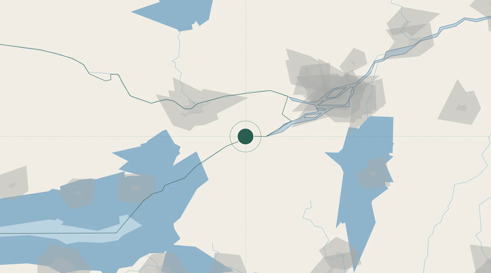
Hub Profile
Place type
Populated place
Region
Ontario
Time zone
America/Toronto
Elevation
86 m
Location
Nearby Logistics Neighbours
Cities
- 1Monkland25 km
- 2Norwood28 km
- 3Moose Creek28 km
- 4Winchester29 km
- 5Inkerman32 km
Ports
- 1Cornwall21 km
- 2Cardinal39 km
- 3South Lancaster42 km
- 4Lower Lakes Terminal47 km
- 5Ogdensburg52 km
Airports
Trade Zones
- 1FTZ No. 118 Ogdensburg52 km
- 2Greater Montreal Free Zone Center126 km
- 3FTZ No. 109 Watertown133 km
- 4FTZ No. 090 Onondaga212 km
- 5FTZ No. 172 Oneida County213 km
DatabookThe Record of Consolidated Knowledge
Canada beyond logistics?