Medium airport · United States

Ogdensburg International AirportKOGS
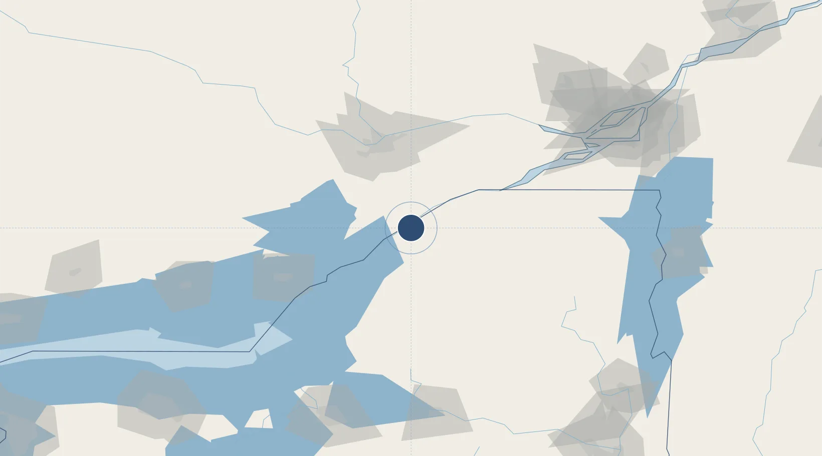
44.6819°, -75.4655°
6,400 ft
Longest runway
1
Runways
297 ft
Elevation

Runway & Layout

Ogdensburg International Airport runway & taxiway layout
Runway & taxiway layout — OpenStreetMap (ODbL) / OurAirports

Radio Frequencies

AWOS
118.525 MHz
AWOS 3
CNTR
135.25 MHz
BOSTON CNTR
RDO
122.4 MHz
BURLINGTON RDO
UNIC
122.8 MHz
CTAF/UNICOM
OurAirports

Runways · 1

RunwayDimensions SurfaceTrue headingLit
09/27 6,400 × 150ft Asphalt 076°
OurAirports

Airport Specifications

IATA code
OGS
OurAirports
ICAO code
KOGS
OurAirports
Airport class
Medium airport
OurAirports
Scheduled service
Yes
OurAirports
Runway surface
Asphalt
OurAirports
Served city
Ogdensburg
OurAirports

Location

Location of KOGS
Natural Earth 10m (public domain) · New York · KOGS · 44.68, -75.47GoogleOSMYandex

Nearby Logistics Neighbours

Airports
  1. 1Smiths Falls-Montague (Russ Beach) Airport48 km
  2. 2Massena International Airport Richards Field57 km
  3. 3Wheeler Sack Army Air Field73 km
  4. 4Ottawa Macdonald-Cartier International Airport73 km
  5. 5Ottawa / Carp Airport83 km
Nearest neighbours — logibook spatial index (haversine) over the source coordinates
Cities
  1. 1Heuvelton9 km
  2. 2Lisbon13 km
  3. 3Canton26 km
  4. 4Gouverneur39 km
  5. 5Norwood39 km
Nearest neighbours — logibook spatial index (haversine) over the source coordinates
Ports
  1. 1Ogdensburg3 km
  2. 2Lower Lakes Terminal6 km
  3. 3Cardinal13 km
  4. 4Brockville19 km
  5. 5Rockport50 km
Nearest neighbours — logibook spatial index (haversine) over the source coordinates
Trade Zones
  1. 1FTZ No. 118 Ogdensburg5 km
  2. 2FTZ No. 109 Watertown85 km
  3. 3FTZ No. 090 Onondaga162 km
  4. 4FTZ No. 172 Oneida County167 km
  5. 5Greater Montreal Free Zone Center176 km
Nearest neighbours — logibook spatial index (haversine) over the source coordinates
DatabookThe Record of Consolidated Knowledge
United States beyond logistics?
Browse databook

All Sources

AirportsOurAirports
Public domain
Portsthe NGA World Port Index
Public domain (US gov)
LocationsUN/LOCODE
UN/LOCODE — free
Trade Zonesthe World Bank SEZ database
CC BY 4.0
Trade ZonesOpen Zone Map
CC BY
InfrastructureOpenStreetMap
ODbL 1.0
← United States airports