Seaport · Canada

HullCAHUL

45.4333°, -75.7000°
1.8 m
Channel depth

Channel & Berth Profile

SEA LEVEL (CD)CHANNEL BEDChannel · 1.8 mAnchorage · 1.8 mCargo pier · 3.4 m
NGA World Port Index

Facilities & Capabilities

Container
Ro-Ro
Liquid bulk
Dry bulk
Oil terminal
Break bulk
Dry dock
Repairs
Bunkering
Rail link
Dangerous cargo
ISPS security
NGA World Port Index

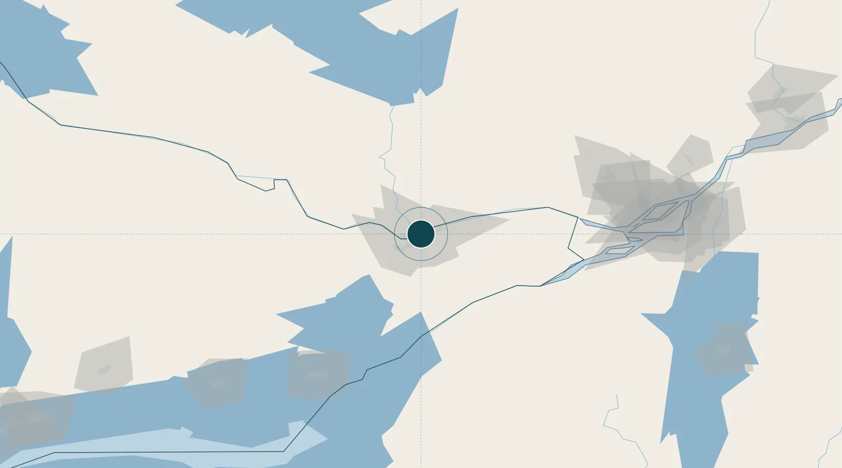
Harbour Specifications

Harbour size
Very Small
NGA World Port Index
Harbour type
River (Natural)
NGA World Port Index
Shelter
Excellent
NGA World Port Index
Water body
Lake Ontario; Great Lakes
NGA World Port Index

Location

Location of CAHUL
Natural Earth 10m (public domain) · Ontario · CAHUL · 45.43, -75.70GoogleOSMYandex

Nearby Logistics Neighbours

Ports
  1. 1Ottawa0 km
  2. 2Gatineau7 km
  3. 3Masson25 km
  4. 4Cumberland25 km
  5. 5Rockland34 km
Nearest neighbours — logibook spatial index (haversine) over the source coordinates
Cities
  1. 1Gatineau6 km
  2. 2Orléans13 km
  3. 3Masson25 km
  4. 4Stittsville27 km
  5. 5Sarsfield27 km
Nearest neighbours — logibook spatial index (haversine) over the source coordinates
Airports
  1. 1Ottawa / Rockcliffe Airport5 km
  2. 2Ottawa Macdonald-Cartier International Airport13 km
  3. 3Ottawa / Gatineau Airport15 km
  4. 4Ottawa / Carp Airport28 km
  5. 5Smiths Falls-Montague (Russ Beach) Airport57 km
Nearest neighbours — logibook spatial index (haversine) over the source coordinates
Trade Zones
  1. 1FTZ No. 118 Ogdensburg82 km
  2. 2FTZ No. 109 Watertown162 km
  3. 3Greater Montreal Free Zone Center167 km
  4. 4FTZ No. 090 Onondaga231 km
  5. 5FTZ No. 172 Oneida County246 km
Nearest neighbours — logibook spatial index (haversine) over the source coordinates
DatabookThe Record of Consolidated Knowledge
Canada beyond logistics?
Browse databook

All Sources

Portsthe NGA World Port Index
Public domain (US gov)
AirportsOurAirports
Public domain
LocationsUN/LOCODE
UN/LOCODE — free
Trade Zonesthe World Bank SEZ database
CC BY 4.0
Trade ZonesOpen Zone Map
CC BY
← Canada ports