Seaport · Canada

CardinalCACDN

44.7833°, -75.3833°

Channel & Berth Profile

SEA LEVEL (CD)CHANNEL BEDCargo pier · 6.4 m
NGA World Port Index

Pilotage, Tugs & Services

Pilotage compulsoryYES
NGA World Port Index

Facilities & Capabilities

Container
Ro-Ro
Liquid bulk
Dry bulk
Oil terminal
Break bulk
Dry dock
Repairs
Bunkering
Rail link
Dangerous cargo
ISPS security
NGA World Port Index

Harbour Specifications
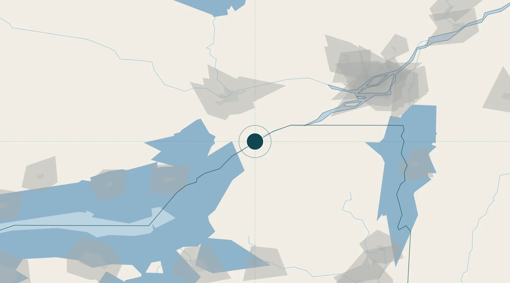
Harbour size
Very Small
NGA World Port Index
Harbour type
Canal or Lake
NGA World Port Index
Shelter
Excellent
NGA World Port Index
Water body
Lake Ontario; Great Lakes
NGA World Port Index
Pilotage
Yes
NGA World Port Index

Location

Location of CACDN
Natural Earth 10m (public domain) · New York · CACDN · 44.78, -75.38GoogleOSMYandex

Nearby Logistics Neighbours

Ports
  1. 1Lower Lakes Terminal9 km
  2. 2Ogdensburg13 km
  3. 3Brockville32 km
  4. 4Cornwall57 km
  5. 5Rockport62 km
Nearest neighbours — logibook spatial index (haversine) over the source coordinates
Cities
  1. 1Lisbon8 km
  2. 2Heuvelton19 km
  3. 3Inkerman28 km
  4. 4Canton28 km
  5. 5Norwood32 km
Nearest neighbours — logibook spatial index (haversine) over the source coordinates
Trade Zones
  1. 1FTZ No. 118 Ogdensburg13 km
  2. 2FTZ No. 109 Watertown98 km
  3. 3Greater Montreal Free Zone Center164 km
  4. 4FTZ No. 090 Onondaga175 km
  5. 5FTZ No. 172 Oneida County180 km
Nearest neighbours — logibook spatial index (haversine) over the source coordinates
DatabookThe Record of Consolidated Knowledge
Canada beyond logistics?
Browse databook

All Sources

Portsthe NGA World Port Index
Public domain (US gov)
AirportsOurAirports
Public domain
LocationsUN/LOCODE
UN/LOCODE — free
Trade Zonesthe World Bank SEZ database
CC BY 4.0
Trade ZonesOpen Zone Map
CC BY
← Canada ports