Transport Functions
Port
Road
Hub Profile
Place type
Populated place
Region
New Brunswick
Time zone
America/Moncton
Elevation
1 m
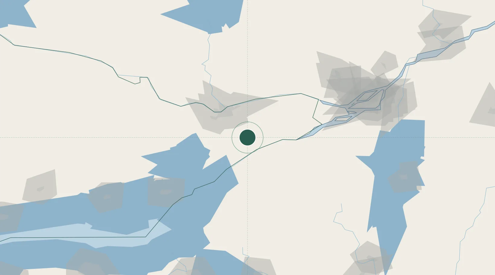
Location
Nearby Logistics Neighbours
Cities
- 1Winchester7 km
- 2Kemptville18 km
- 3Burritts Rapids31 km
- 4Ingleside32 km
- 5Lisbon34 km
Ports
- 1Cardinal28 km
- 2Lower Lakes Terminal34 km
- 3Ogdensburg38 km
- 4Hull50 km
- 5Ottawa50 km
Airports
Trade Zones
- 1FTZ No. 118 Ogdensburg37 km
- 2FTZ No. 109 Watertown123 km
- 3Greater Montreal Free Zone Center153 km
- 4FTZ No. 090 Onondaga198 km
- 5FTZ No. 172 Oneida County206 km
DatabookThe Record of Consolidated Knowledge
Canada beyond logistics?