Medium airport · Canada

Smiths Falls-Montague (Russ Beach) AirportCYSH
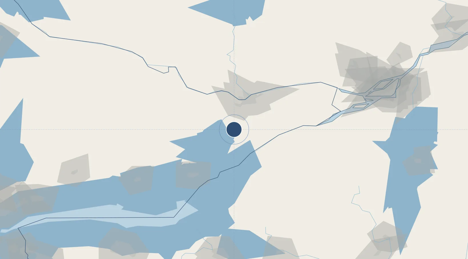
44.9458°, -75.9406°
4,000 ft
Longest runway
2
Runways
416 ft
Elevation

Runway & Layout

Smiths Falls-Montague (Russ Beach) Airport runway & taxiway layout
Runway & taxiway layout — OpenStreetMap (ODbL) / OurAirports

Radio Frequencies

A/D
128.175 MHz
OTTAWA TRML
UNIC
122.7 MHz
ATF/UNICOM
OurAirports

Runways · 2

RunwayDimensions SurfaceTrue headingLit
06/24 4,000 × 75ft Asphalt 051°
15/33 1,500 × 85ft grass 137°
OurAirports

Airport Specifications

IATA code
YSH
OurAirports
ICAO code
CYSH
OurAirports
Airport class
Medium airport
OurAirports
Scheduled service
No
OurAirports
Runway surface
Asphalt
OurAirports
Served city
Smiths Falls
OurAirports

Location

Location of CYSH
Natural Earth 10m (public domain) · Ontario · CYSH · 44.95, -75.94GoogleOSMYandex

Nearby Logistics Neighbours

Airports
  1. 1Ottawa / Carp Airport42 km
  2. 2Ottawa Macdonald-Cartier International Airport47 km
  3. 3Ogdensburg International Airport48 km
  4. 4Ottawa / Rockcliffe Airport62 km
  5. 5Ottawa / Gatineau Airport71 km
Nearest neighbours — logibook spatial index (haversine) over the source coordinates
Cities
  1. 1Burritts Rapids13 km
  2. 2Perth25 km
  3. 3Kemptville25 km
  4. 4Richmond28 km
  5. 5Stittsville34 km
Nearest neighbours — logibook spatial index (haversine) over the source coordinates
Ports
  1. 1Lower Lakes Terminal44 km
  2. 2Ogdensburg44 km
  3. 3Brockville46 km
  4. 4Cardinal48 km
  5. 5Hull57 km
Nearest neighbours — logibook spatial index (haversine) over the source coordinates
Trade Zones
  1. 1FTZ No. 118 Ogdensburg43 km
  2. 2FTZ No. 109 Watertown107 km
  3. 3FTZ No. 090 Onondaga173 km
  4. 4FTZ No. 172 Oneida County190 km
  5. 5Greater Montreal Free Zone Center197 km
Nearest neighbours — logibook spatial index (haversine) over the source coordinates
DatabookThe Record of Consolidated Knowledge
Canada beyond logistics?
Browse databook

All Sources

AirportsOurAirports
Public domain
Portsthe NGA World Port Index
Public domain (US gov)
LocationsUN/LOCODE
UN/LOCODE — free
Trade Zonesthe World Bank SEZ database
CC BY 4.0
Trade ZonesOpen Zone Map
CC BY
InfrastructureOpenStreetMap
ODbL 1.0
← Canada airports