Medium airport · United States

Massena International Airport Richards FieldKMSS
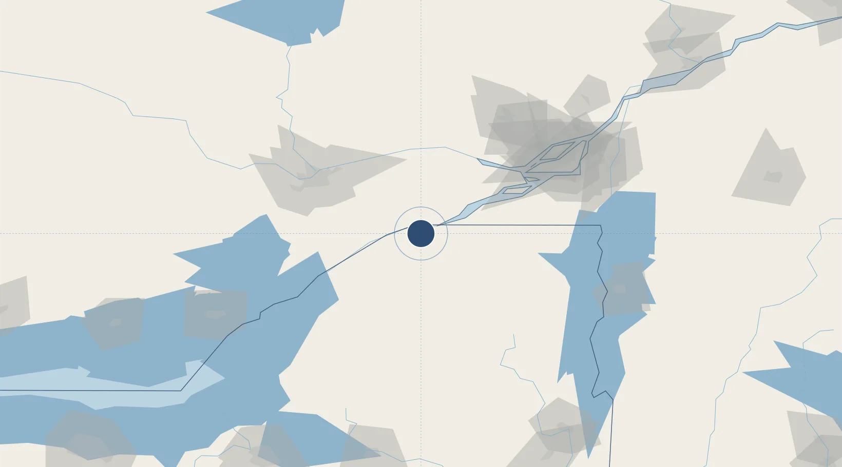
44.9362°, -74.8443°
5,601 ft
Longest runway
2
Runways
215 ft
Elevation

Runway & Layout

Massena International Airport Richards Field runway & taxiway layout
Runway & taxiway layout — OpenStreetMap (ODbL) / OurAirports

Radio Frequencies

ASOS
128.075 MHz
A/D
135.25 MHz
BOSTON APP/DEP
RDO
122.2 MHz
BURLINGTON RDO
UNIC
123 MHz
CTAF/UNICOM
OurAirports

Navaids

MS NDB Misse 278 kHz
OurAirports

Runways · 2

RunwayDimensions SurfaceTrue headingLit
05/23 5,601 × 100ft Asphalt 031°
09/27 4,000 × 100ft Asphalt 076°
OurAirports

Airport Specifications

IATA code
MSS
OurAirports
ICAO code
KMSS
OurAirports
Airport class
Medium airport
OurAirports
Scheduled service
Yes
OurAirports
Runway surface
Asphalt
OurAirports
Served city
Massena
OurAirports

Location

Location of KMSS
Natural Earth 10m (public domain) · New York · KMSS · 44.94, -74.84GoogleOSMYandex

Nearby Logistics Neighbours

Airports
  1. 1Cornwall Regional Airport28 km
  2. 2Ogdensburg International Airport57 km
  3. 3Ottawa Macdonald-Cartier International Airport78 km
  4. 4Adirondack Regional Airport79 km
  5. 5Ottawa / Rockcliffe Airport86 km
Nearest neighbours — logibook spatial index (haversine) over the source coordinates
Cities
  1. 1Ingleside14 km
  2. 2Bombay22 km
  3. 3Norwood23 km
  4. 4Monkland29 km
  5. 5Moose Creek36 km
Nearest neighbours — logibook spatial index (haversine) over the source coordinates
Ports
  1. 1Cornwall13 km
  2. 2South Lancaster35 km
  3. 3St Anicet44 km
  4. 4Cardinal46 km
  5. 5Lower Lakes Terminal54 km
Nearest neighbours — logibook spatial index (haversine) over the source coordinates
Trade Zones
  1. 1FTZ No. 118 Ogdensburg58 km
  2. 2Greater Montreal Free Zone Center119 km
  3. 3FTZ No. 109 Watertown135 km
  4. 4FTZ No. 172 Oneida County212 km
  5. 5FTZ No. 090 Onondaga214 km
Nearest neighbours — logibook spatial index (haversine) over the source coordinates
DatabookThe Record of Consolidated Knowledge
United States beyond logistics?
Browse databook

All Sources

AirportsOurAirports
Public domain
Portsthe NGA World Port Index
Public domain (US gov)
LocationsUN/LOCODE
UN/LOCODE — free
Trade Zonesthe World Bank SEZ database
CC BY 4.0
Trade ZonesOpen Zone Map
CC BY
InfrastructureOpenStreetMap
ODbL 1.0
← United States airports