Foreign Trade Zone · United States
FTZ No. 118 Ogdensburg Active
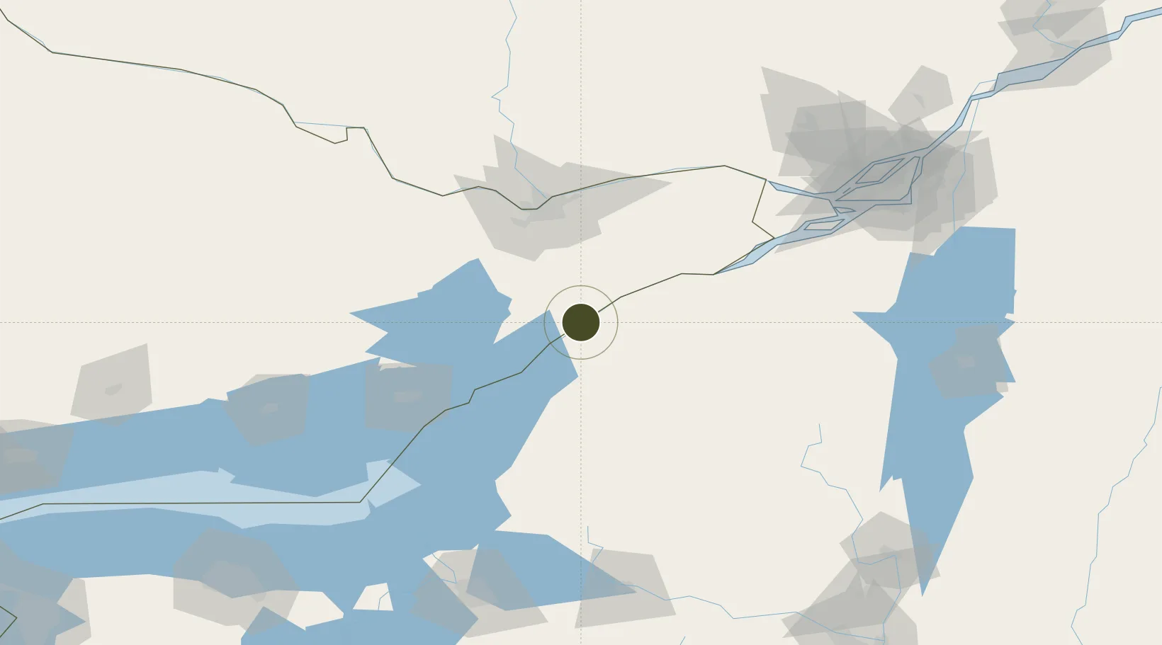
44.7109°, -75.5102°
1.5 km
Nearest port
4.8 km
Nearest airport
Gateway access
Zone profile
Zone type
Foreign Trade Zone
Region
Ontario
Status
Active
Management
Public-Private Partnership
Operator
Ogdensburg Bridge and Port Authority
Legal framework
Foreign-Trade Zones Act
Location
Nearby Logistics Neighbours
Ports
- 1Ogdensburg2 km
- 2Lower Lakes Terminal4 km
- 3Cardinal13 km
- 4Brockville19 km
- 5Rockport50 km
Airports
Cities
- 1Heuvelton14 km
- 2Lisbon16 km
- 3Canton31 km
- 4Kemptville35 km
- 5Burritts Rapids36 km
Trade Zones
- 1FTZ No. 109 Watertown86 km
- 2FTZ No. 090 Onondaga163 km
- 3FTZ No. 172 Oneida County169 km
- 4Greater Montreal Free Zone Center177 km
- 5FTZ No. 141 Monroe County252 km
DatabookThe Record of Consolidated Knowledge
United States beyond logistics?