Channel & Berth Profile
Pilotage, Tugs & Services
Pilotage compulsoryYES
Tug assistanceYES
Salvage tugsNO
Potable waterYES
Diesel bunkersYES
MedicalYES
Facilities & Capabilities
Container—
Ro-Ro—
Liquid bulk—
Dry bulk—
Oil terminal—
Break bulk—
Dry dockNO
RepairsNO
BunkeringYES
Rail linkYES
Dangerous cargo—
ISPS security—
Harbour Specifications
Harbour size
Small
Harbour type
River (Natural)
Shelter
Excellent
Water body
Lake Ontario; Great Lakes
Overhead limit
Yes
Pilotage
Yes
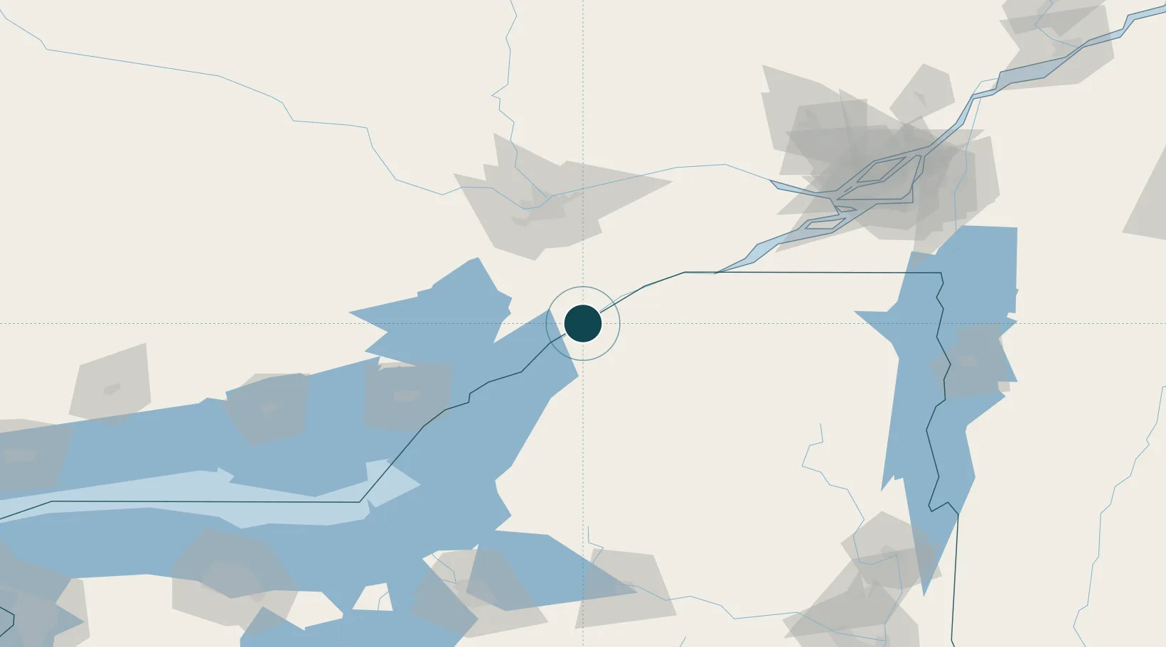
Location
Nearby Logistics Neighbours
Ports
- 1Lower Lakes Terminal5 km
- 2Cardinal13 km
- 3Brockville19 km
- 4Rockport49 km
- 5Alexandria Bay53 km
Cities
- 1Heuvelton12 km
- 2Lisbon15 km
- 3Canton29 km
- 4Kemptville37 km
- 5Burritts Rapids37 km
Airports
Trade Zones
- 1FTZ No. 118 Ogdensburg2 km
- 2FTZ No. 109 Watertown85 km
- 3FTZ No. 090 Onondaga162 km
- 4FTZ No. 172 Oneida County168 km
- 5Greater Montreal Free Zone Center177 km
DatabookThe Record of Consolidated Knowledge
United States beyond logistics?