Medium airport · Canada

Ottawa / Rockcliffe AirportCYRO
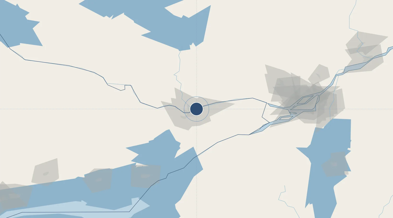
45.4605°, -75.6440°
3,300 ft
Longest runway
1
Runways
188 ft
Elevation

Runway & Layout

Ottawa / Rockcliffe Airport runway & taxiway layout
Runway & taxiway layout — OpenStreetMap (ODbL) / OurAirports

Radio Frequencies

UNICOM
123.5 MHz
Rockcliffe Unicom
ATF
123.5 MHz
Rockcliffe Traffic
RCO
123.375 MHz
Quebec Radio
OurAirports

Runways · 1

RunwayDimensions SurfaceTrue headingLit
09/27 3,300 × 100ft Asphalt 076°
OurAirports

Airport Specifications

IATA code
YRO
OurAirports
ICAO code
CYRO
OurAirports
Airport class
Medium airport
OurAirports
Scheduled service
Yes
OurAirports
Runway surface
Asphalt
OurAirports
Served city
Ottawa
OurAirports

Location

Location of CYRO
Natural Earth 10m (public domain) · Ontario · CYRO · 45.46, -75.64GoogleOSMYandex

Nearby Logistics Neighbours

Airports
  1. 1Ottawa / Gatineau Airport9 km
  2. 2Ottawa Macdonald-Cartier International Airport16 km
  3. 3Ottawa / Carp Airport34 km
  4. 4Smiths Falls-Montague (Russ Beach) Airport62 km
  5. 5Massena International Airport Richards Field86 km
Nearest neighbours — logibook spatial index (haversine) over the source coordinates
Cities
  1. 1Gatineau5 km
  2. 2Orléans9 km
  3. 3Masson19 km
  4. 4Sarsfield23 km
  5. 5Wakefield31 km
Nearest neighbours — logibook spatial index (haversine) over the source coordinates
Ports
  1. 1Gatineau3 km
  2. 2Hull5 km
  3. 3Ottawa5 km
  4. 4Masson20 km
  5. 5Cumberland20 km
Nearest neighbours — logibook spatial index (haversine) over the source coordinates
Trade Zones
  1. 1FTZ No. 118 Ogdensburg84 km
  2. 2Greater Montreal Free Zone Center162 km
  3. 3FTZ No. 109 Watertown165 km
  4. 4FTZ No. 090 Onondaga235 km
  5. 5FTZ No. 172 Oneida County249 km
Nearest neighbours — logibook spatial index (haversine) over the source coordinates
DatabookThe Record of Consolidated Knowledge
Canada beyond logistics?
Browse databook

All Sources

AirportsOurAirports
Public domain
Portsthe NGA World Port Index
Public domain (US gov)
LocationsUN/LOCODE
UN/LOCODE — free
Trade Zonesthe World Bank SEZ database
CC BY 4.0
Trade ZonesOpen Zone Map
CC BY
InfrastructureOpenStreetMap
ODbL 1.0
← Canada airports