Transport Functions
Road
Multimodal
Hub Profile
Place type
Locality
Region
Ontario
Time zone
America/Toronto
Elevation
83 m
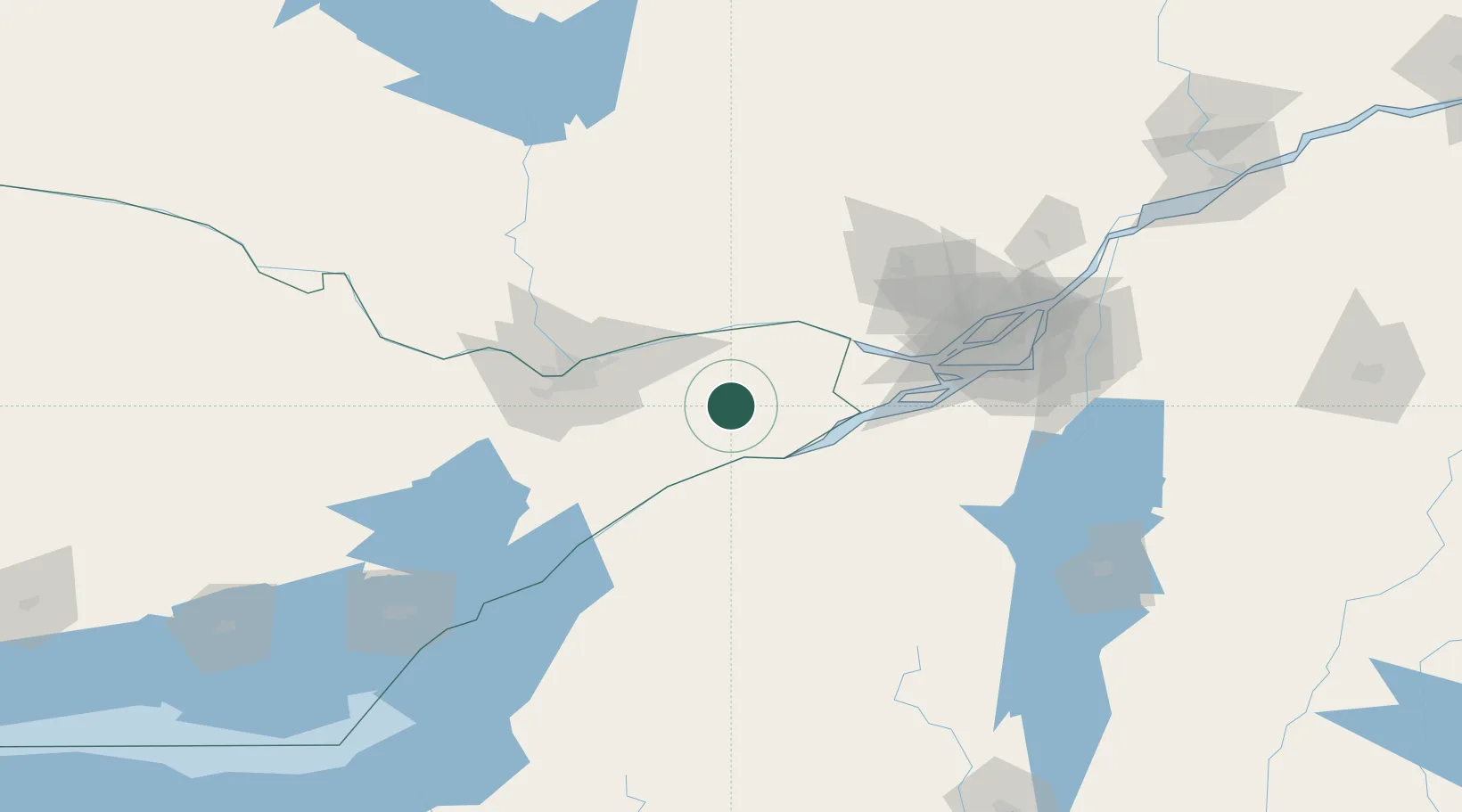
Location
Nearby Logistics Neighbours
Cities
- 1Monkland10 km
- 2Ingleside28 km
- 3Plantagenet32 km
- 4Alfred34 km
- 5Winchester35 km
Ports
- 1Cornwall32 km
- 2South Lancaster39 km
- 3Papineauville41 km
- 4Rockland42 km
- 5Thurso44 km
Airports
Trade Zones
- 1FTZ No. 118 Ogdensburg74 km
- 2Greater Montreal Free Zone Center113 km
- 3FTZ No. 109 Watertown159 km
- 4FTZ No. 090 Onondaga236 km
- 5FTZ No. 172 Oneida County240 km
DatabookThe Record of Consolidated Knowledge
Canada beyond logistics?