Large airport · Canada
Ottawa Macdonald-Cartier International AirportCYOW
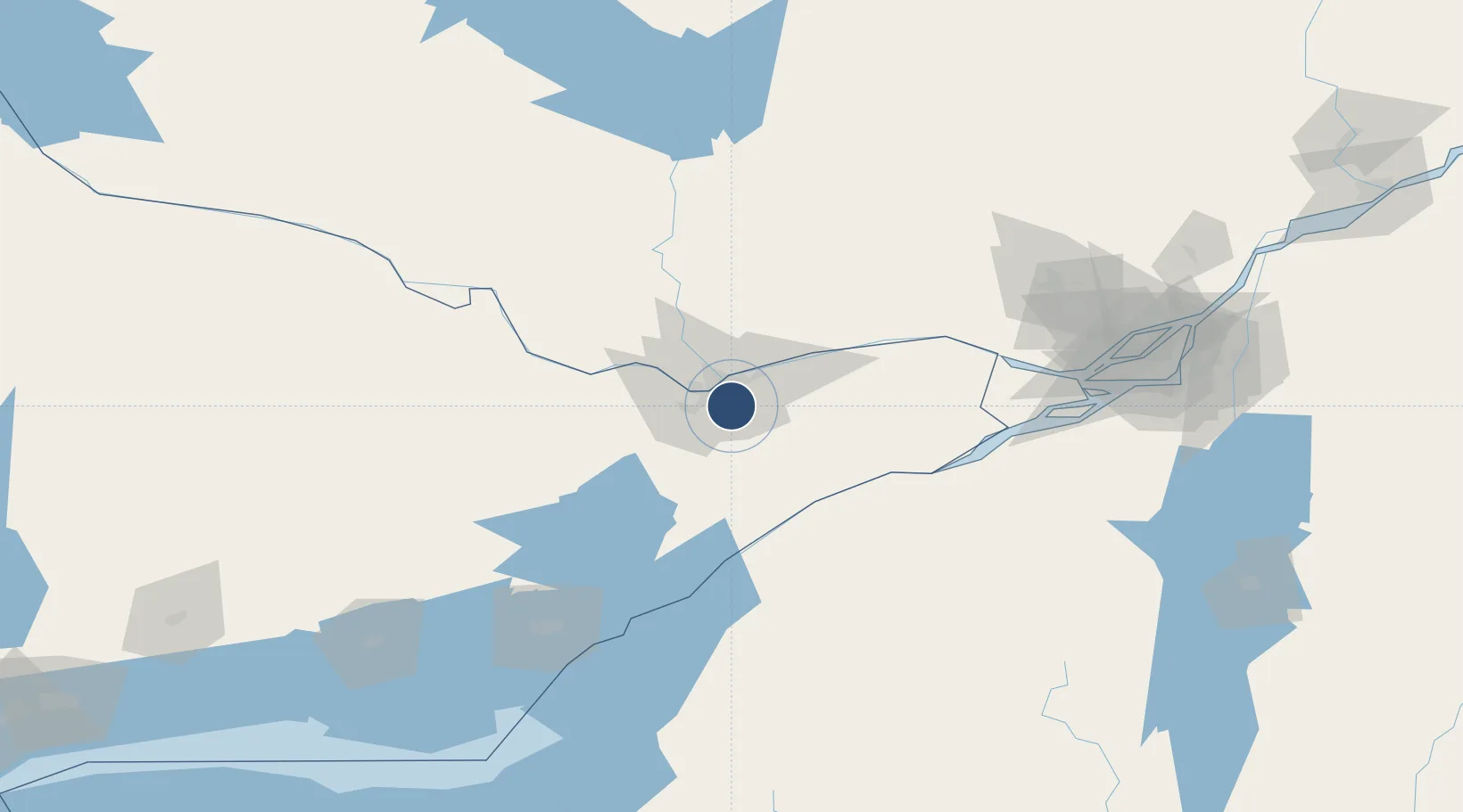
45.3225°, -75.6692°
10,000 ft
Longest runway
3
Runways
374 ft
Elevation
Runway & Layout

Radio Frequencies
ATIS
121.15 MHz
English ATIS
ATIS
132.95 MHz
French ATIS
TWR
118.8 MHz
Ottawa Tower
GND
121.9 MHz
Ottawa Ground
DEP
128.175 MHz
Ottawa Departures
ARR
135.15 MHz
Ottawa Arrivals
CLNC DEL
119.4 MHz
Ottawa Clearance
RCO
123.15 MHz
Quebec Radio
TML
127.7 MHz
Ottawa Terminal
Navaids
IOW DME Ottawa 109.50 MHz
OW NDB Ottawa 236 kHz
YOW VOR-DME Ottawa 114.60 MHz
YRR NDB Greely 377 kHz
Runways · 3
| Runway | Dimensions | Surface | True heading | Lit |
|---|---|---|---|---|
| 14/32 | 10,000 × 200ft | Asphalt | 126° | ✓ |
| 07/25 | 8,000 × 200ft | Asphalt | 057° | ✓ |
| 04/22 | 3,300 × 75ft | Asphalt | 026° | — |
Airport Specifications
IATA code
YOW
ICAO code
CYOW
Airport class
Large airport
Scheduled service
Yes
Runway surface
Asphalt
Served city
Ottawa
Location
Nearby Logistics Neighbours
Airports
Cities
- 1Orléans18 km
- 2Gatineau18 km
- 3Richmond20 km
- 4Stittsville21 km
- 5Sarsfield29 km
Ports
- 1Hull13 km
- 2Ottawa13 km
- 3Gatineau18 km
- 4Cumberland30 km
- 5Masson31 km
Trade Zones
- 1FTZ No. 118 Ogdensburg69 km
- 2FTZ No. 109 Watertown150 km
- 3Greater Montreal Free Zone Center166 km
- 4FTZ No. 090 Onondaga220 km
- 5FTZ No. 172 Oneida County234 km
DatabookThe Record of Consolidated Knowledge
Canada beyond logistics?