Transport Functions
Multimodal
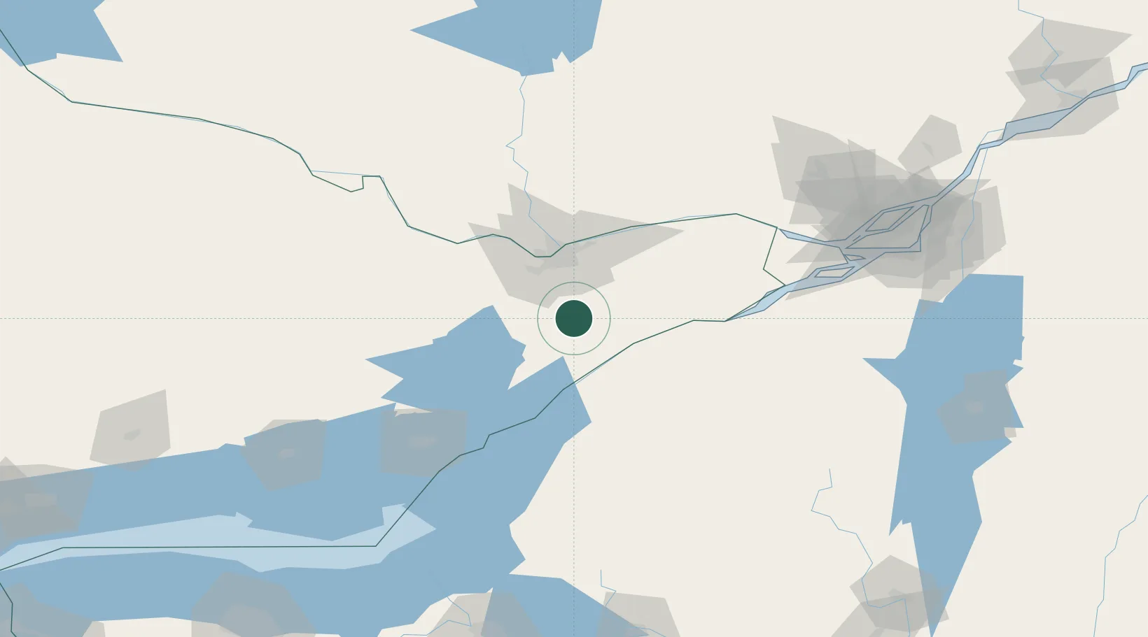
Hub Profile
Place type
Populated place
Region
Ontario
Population
500
Time zone
America/Toronto
Elevation
96 m
Location
Nearby Logistics Neighbours
Cities
- 1Burritts Rapids13 km
- 2Inkerman18 km
- 3Winchester24 km
- 4Richmond24 km
- 5Stittsville34 km
Ports
- 1Cardinal33 km
- 2Lower Lakes Terminal34 km
- 3Ogdensburg37 km
- 4Hull47 km
- 5Ottawa47 km
Airports
Trade Zones
- 1FTZ No. 118 Ogdensburg35 km
- 2FTZ No. 109 Watertown116 km
- 3Greater Montreal Free Zone Center171 km
- 4FTZ No. 090 Onondaga189 km
- 5FTZ No. 172 Oneida County200 km
DatabookThe Record of Consolidated Knowledge
Canada beyond logistics?