Foreign Trade Zone · United States

FTZ No. 090 Onondaga Active
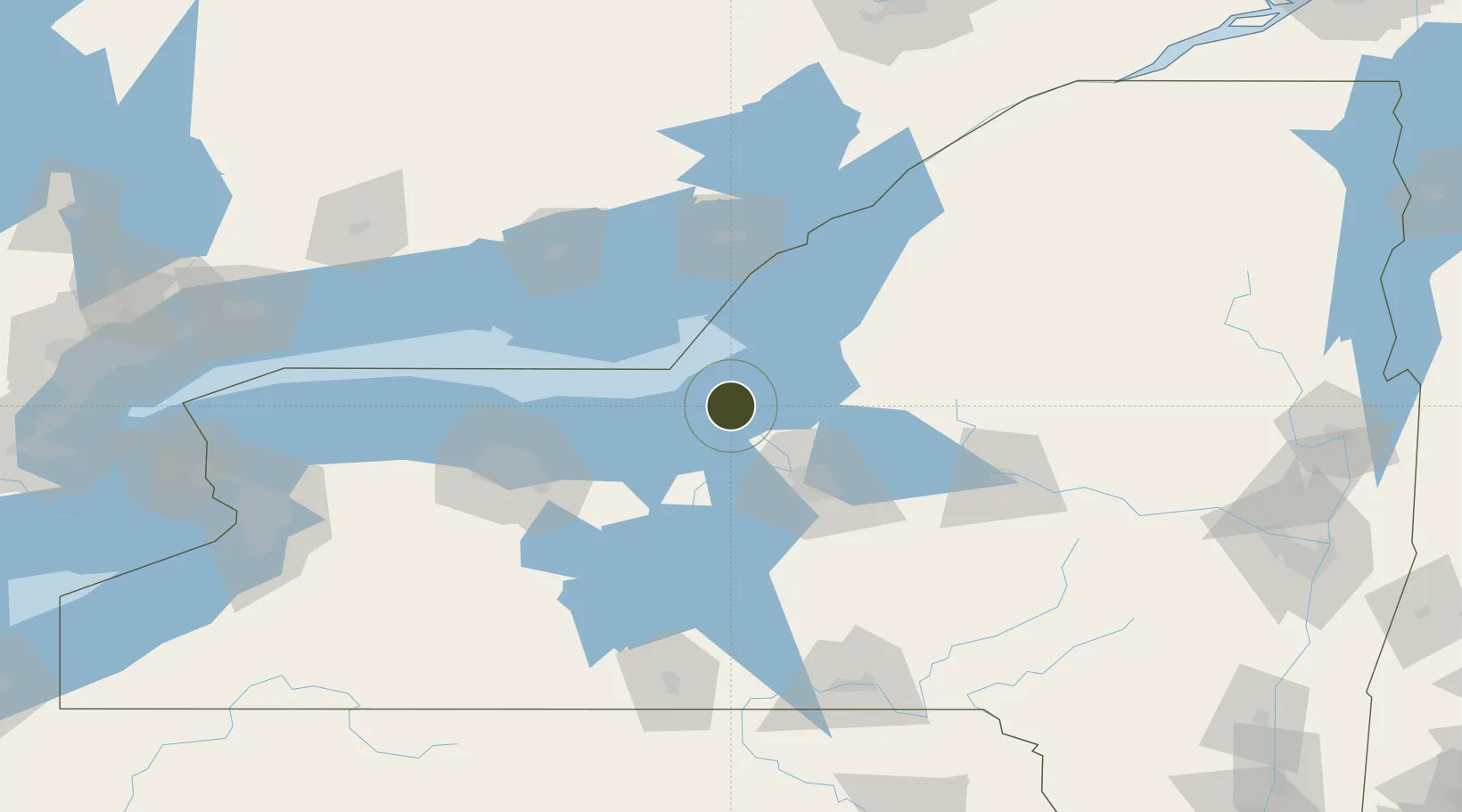
43.4506°, -76.5495°
3.2 km
Nearest port
52.1 km
Nearest airport

Gateway access

Nearest neighbours — logibook spatial index (haversine) over the source coordinates

Zone profile

Zone type
Foreign Trade Zone
Open Zone Map
Region
New York
Open Zone Map
Status
Active
Open Zone Map
Management
Public
Open Zone Map
Operator
County of Onondaga
Open Zone Map
Legal framework
Foreign-Trade Zones Act
Open Zone Map

Location

Location of ozm-4751
Natural Earth 10m (public domain) · New York · ozm-4751 · 43.45, -76.55GoogleOSMYandex

Nearby Logistics Neighbours

Ports
  1. 1Oswego3 km
  2. 2Sodus Bay41 km
  3. 3Picton79 km
  4. 4Wolfe Island84 km
  5. 5Millhaven85 km
Nearest neighbours — logibook spatial index (haversine) over the source coordinates
Airports
  1. 1Syracuse Hancock International Airport52 km
  2. 2Watertown International Airport74 km
  3. 3Kingston Norman Rogers Airport86 km
  4. 4Wheeler Sack Army Air Field95 km
  5. 5Griffiss International Airport96 km
Nearest neighbours — logibook spatial index (haversine) over the source coordinates
Cities
  1. 1Oswego4 km
  2. 2Cato32 km
  3. 3Wolcott34 km
  4. 4Parish34 km
  5. 5Plainville35 km
Nearest neighbours — logibook spatial index (haversine) over the source coordinates
Trade Zones
  1. 1FTZ No. 172 Oneida County48 km
  2. 2FTZ No. 109 Watertown80 km
  3. 3FTZ No. 289 Ontario County109 km
  4. 4FTZ No. 141 Monroe County116 km
  5. 5FTZ No. 118 Ogdensburg163 km
Nearest neighbours — logibook spatial index (haversine) over the source coordinates
DatabookThe Record of Consolidated Knowledge
United States beyond logistics?
Browse databook

All Sources

Trade ZonesOpen Zone Map
CC BY
Portsthe NGA World Port Index
Public domain (US gov)
AirportsOurAirports
Public domain
LocationsUN/LOCODE
UN/LOCODE — free
← United States trade zones