Foreign Trade Zone · United States

FTZ No. 109 Watertown Active
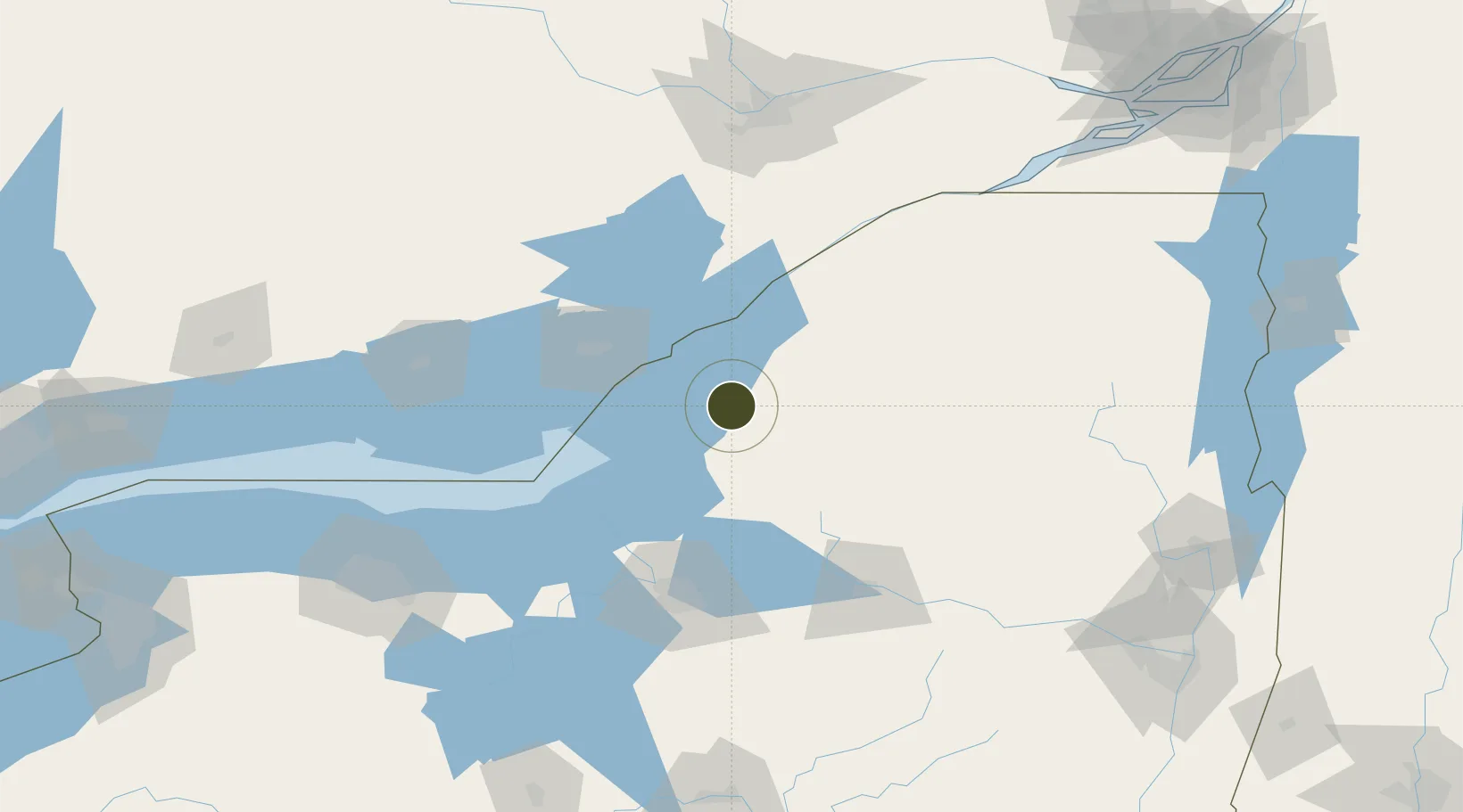
43.9867°, -75.8956°
30.1 km
Nearest port
10.1 km
Nearest airport

Gateway access

Nearest neighbours — logibook spatial index (haversine) over the source coordinates

Zone profile

Zone type
Foreign Trade Zone
Open Zone Map
Region
New York
Open Zone Map
Status
Active
Open Zone Map
Management
Public-Private Partnership
Open Zone Map
Operator
Jefferson County Industrial Development Agency
Open Zone Map
Legal framework
Foreign-Trade Zones Act
Open Zone Map

Location

Location of ozm-4902
Natural Earth 10m (public domain) · New York · ozm-4902 · 43.99, -75.90GoogleOSMYandex

Nearby Logistics Neighbours

Ports
  1. 1Clayton30 km
  2. 2Alexandria Bay39 km
  3. 3Gananoque44 km
  4. 4Rockport44 km
  5. 5Wolfe Island49 km
Nearest neighbours — logibook spatial index (haversine) over the source coordinates
Airports
  1. 1Watertown International Airport10 km
  2. 2Wheeler Sack Army Air Field16 km
  3. 3Kingston Norman Rogers Airport62 km
  4. 4Ogdensburg International Airport85 km
  5. 5Griffiss International Airport93 km
Nearest neighbours — logibook spatial index (haversine) over the source coordinates
Cities
  1. 1Dexter11 km
  2. 2Carthage22 km
  3. 3Philadelphia23 km
  4. 4Theresa27 km
  5. 5Denmark29 km
Nearest neighbours — logibook spatial index (haversine) over the source coordinates
Trade Zones
  1. 1FTZ No. 090 Onondaga80 km
  2. 2FTZ No. 172 Oneida County84 km
  3. 3FTZ No. 118 Ogdensburg86 km
  4. 4FTZ No. 141 Monroe County184 km
  5. 5FTZ No. 289 Ontario County188 km
Nearest neighbours — logibook spatial index (haversine) over the source coordinates
DatabookThe Record of Consolidated Knowledge
United States beyond logistics?
Browse databook

All Sources

Trade ZonesOpen Zone Map
CC BY
Portsthe NGA World Port Index
Public domain (US gov)
AirportsOurAirports
Public domain
LocationsUN/LOCODE
UN/LOCODE — free
← United States trade zones