Transport Functions
Road
Multimodal
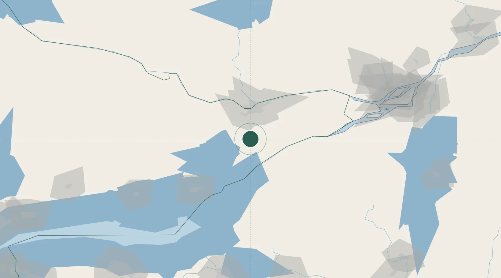
Hub Profile
Place type
Populated place
Region
Ontario
Time zone
America/Toronto
Elevation
94 m
Location
Nearby Logistics Neighbours
Cities
- 1Kemptville13 km
- 2Richmond24 km
- 3Inkerman31 km
- 4Stittsville33 km
- 5Winchester36 km
Ports
- 1Lower Lakes Terminal36 km
- 2Ogdensburg37 km
- 3Cardinal38 km
- 4Brockville44 km
- 5Hull52 km
Airports
Trade Zones
- 1FTZ No. 118 Ogdensburg36 km
- 2FTZ No. 109 Watertown109 km
- 3FTZ No. 090 Onondaga179 km
- 4Greater Montreal Free Zone Center184 km
- 5FTZ No. 172 Oneida County193 km
DatabookThe Record of Consolidated Knowledge
Canada beyond logistics?