Seaport · Canada

Lower Lakes TerminalCAJOH

44.7333°, -75.4667°
7.9 m
Channel depth

Channel & Berth Profile

SEA LEVEL (CD)CHANNEL BEDChannel · 7.9 mCargo pier · 7.9 mAnchorage · 11.0 m
NGA World Port Index

Pilotage, Tugs & Services

Pilotage availableYES
Tug assistanceYES
Potable waterYES
NGA World Port Index

Facilities & Capabilities

Container
Ro-Ro
Liquid bulk
Dry bulk
Oil terminal
Break bulk
Dry dockNO
Repairs
Bunkering
Rail linkYES
Dangerous cargo
ISPS security
NGA World Port Index

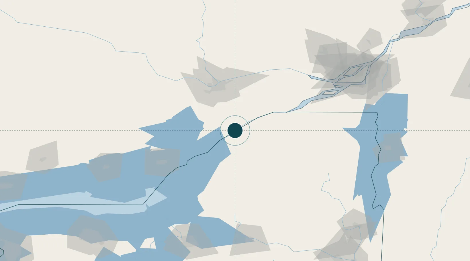
Harbour Specifications

Harbour size
Small
NGA World Port Index
Harbour type
River (Natural)
NGA World Port Index
Shelter
Excellent
NGA World Port Index
Water body
Lake Ontario; Great Lakes
NGA World Port Index

Location

Location of CAJOH
Natural Earth 10m (public domain) · New York · CAJOH · 44.73, -75.47GoogleOSMYandex

Nearby Logistics Neighbours

Ports
  1. 1Ogdensburg5 km
  2. 2Cardinal9 km
  3. 3Brockville23 km
  4. 4Rockport54 km
  5. 5Alexandria Bay57 km
Nearest neighbours — logibook spatial index (haversine) over the source coordinates
Cities
  1. 1Lisbon12 km
  2. 2Heuvelton14 km
  3. 3Canton29 km
  4. 4Inkerman34 km
  5. 5Kemptville34 km
Nearest neighbours — logibook spatial index (haversine) over the source coordinates
Trade Zones
  1. 1FTZ No. 118 Ogdensburg4 km
  2. 2FTZ No. 109 Watertown90 km
  3. 3FTZ No. 090 Onondaga167 km
  4. 4FTZ No. 172 Oneida County173 km
  5. 5Greater Montreal Free Zone Center173 km
Nearest neighbours — logibook spatial index (haversine) over the source coordinates
DatabookThe Record of Consolidated Knowledge
Canada beyond logistics?
Browse databook

All Sources

Portsthe NGA World Port Index
Public domain (US gov)
AirportsOurAirports
Public domain
LocationsUN/LOCODE
UN/LOCODE — free
Trade Zonesthe World Bank SEZ database
CC BY 4.0
Trade ZonesOpen Zone Map
CC BY
← Canada ports