Transport Functions
Port
Airport
Hub Profile
Place type
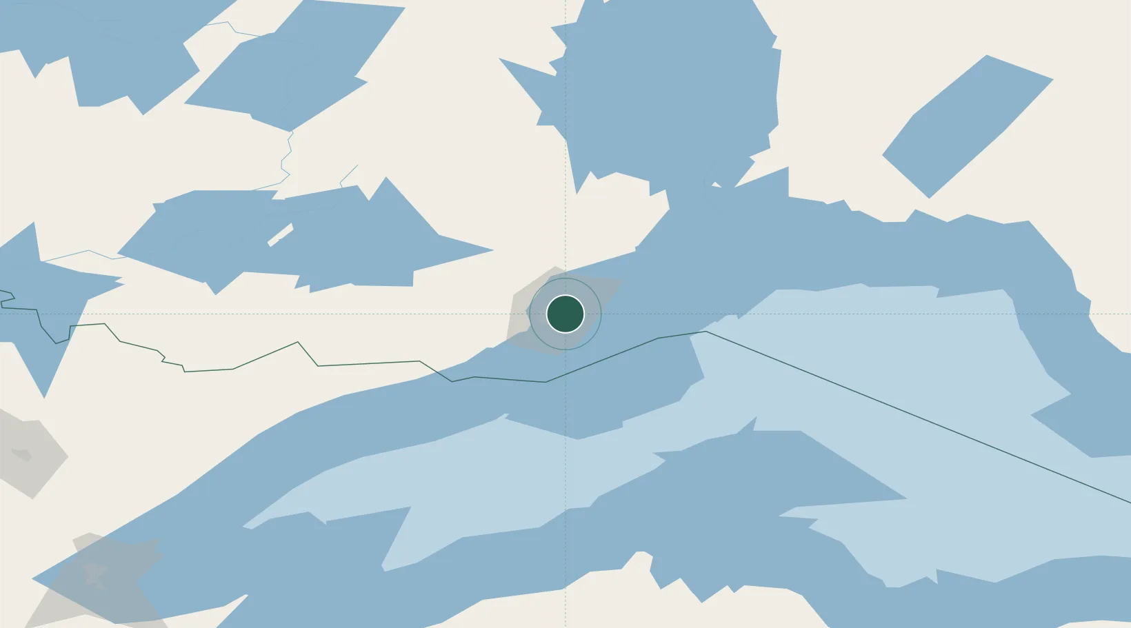
Populated place
Region
Ontario
Population
108,843
Time zone
America/Toronto
Elevation
188 m
Logistics facilities
1
Location
Nearby Logistics Neighbours
Cities
- 1Fort William1 km
- 2Red Rock91 km
- 3Rossport134 km
- 4Lake Linden149 km
- 5Taconite Harbor161 km
Ports
- 1Grand Marais111 km
- 2Houghton152 km
- 3Ontonagon170 km
- 4Baraga189 km
- 5L Anse191 km
Airports
- 1Thunder Bay International Airport9 km
- 2Houghton County Memorial Airport148 km
- 3Atikokan Municipal Airport183 km
- 4Ely Municipal Airport205 km
- 5Armstrong Airport211 km
Trade Zones
- 1FTZ No. 051 Duluth292 km
- 2FTZ No. 259 Koochiching County377 km
- 3FTZ No. 016 Sault Ste. Marie420 km
- 4FTZ No. 167 Brown County445 km
- 5FTZ No. 119 Minneapolis-St. Paul490 km
DatabookThe Record of Consolidated Knowledge
Canada beyond logistics?