Transport Functions
Port
Rail
Road
Multimodal
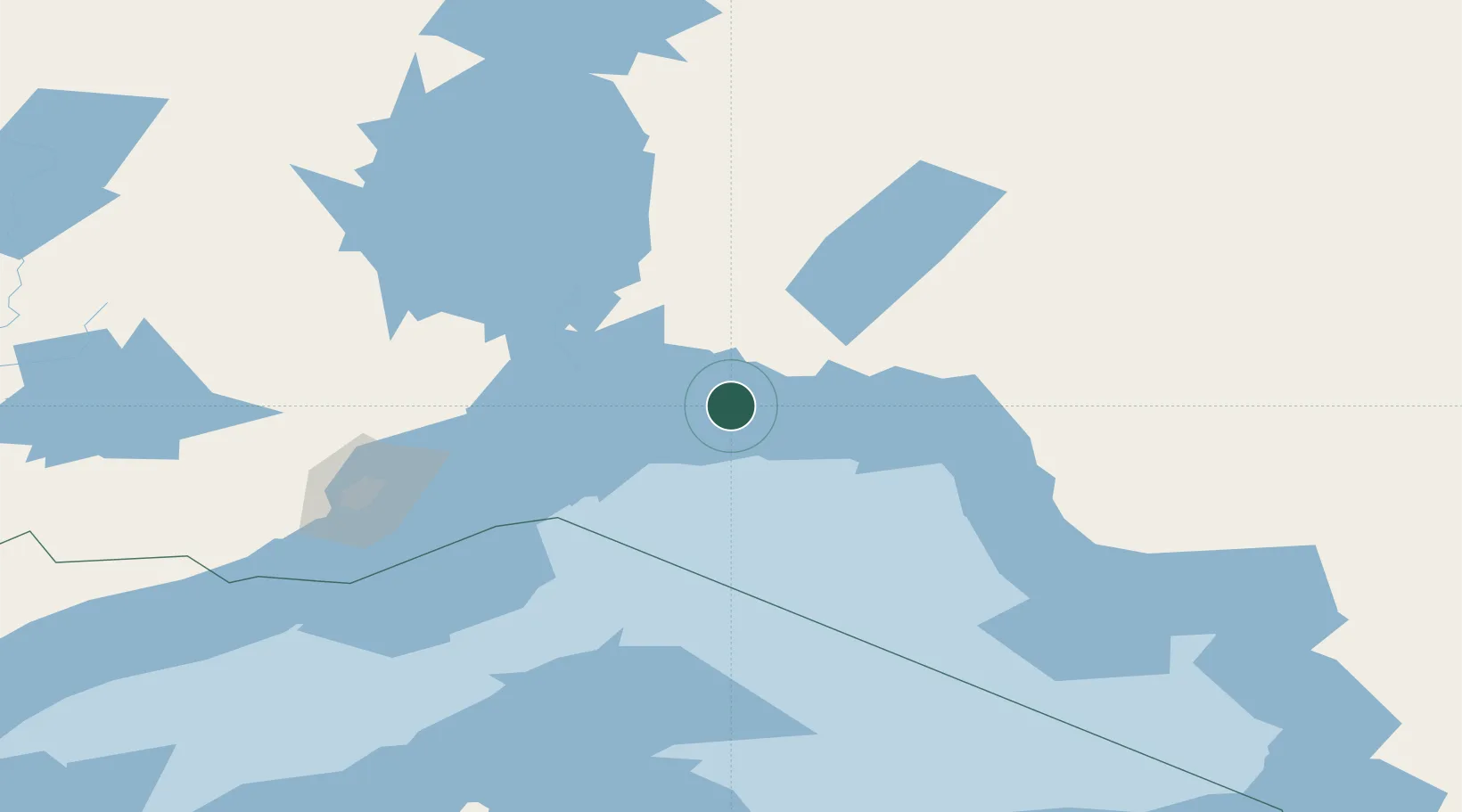
Hub Profile
Place type
Populated place
Region
Ontario
Time zone
America/Toronto
Elevation
179 m
Location
Nearby Logistics Neighbours
Cities
- 1Red Rock58 km
- 2Wellington79 km
- 3Thunder Bay134 km
- 4Fort William135 km
- 5Lake Linden195 km
Ports
- 1Heron Bay90 km
- 2Thunder Bay135 km
- 3Houghton206 km
- 4Michipicoten216 km
- 5Baraga239 km
Airports
- 1Marathon Airport86 km
- 2Geraldton Greenstone Regional Airport113 km
- 3Manitouwadge Airport124 km
- 4Thunder Bay International Airport142 km
- 5Nakina Airport161 km
Trade Zones
- 1FTZ No. 016 Sault Ste. Marie350 km
- 2FTZ No. 051 Duluth422 km
- 3FTZ No. 167 Brown County490 km
- 4FTZ No. 119 Minneapolis-St. Paul611 km
- 5FTZ No. 019 Omaha619 km
DatabookThe Record of Consolidated Knowledge
Canada beyond logistics?