Channel & Berth Profile
Pilotage, Tugs & Services
Pilotage compulsoryYES
Tug assistanceNO
Salvage tugsNO
Potable waterYES
Diesel bunkersYES
MedicalYES
Facilities & Capabilities
Container—
Ro-Ro—
Liquid bulk—
Dry bulk—
Oil terminal—
Break bulk—
Dry dock—
RepairsNO
BunkeringYES
Rail link—
Dangerous cargo—
ISPS security—
Harbour Specifications
Harbour size
Very Small
Harbour type
Coastal (Natural)
Shelter
Excellent
Water body
Lake Superior; Great Lakes
Pilotage
Yes
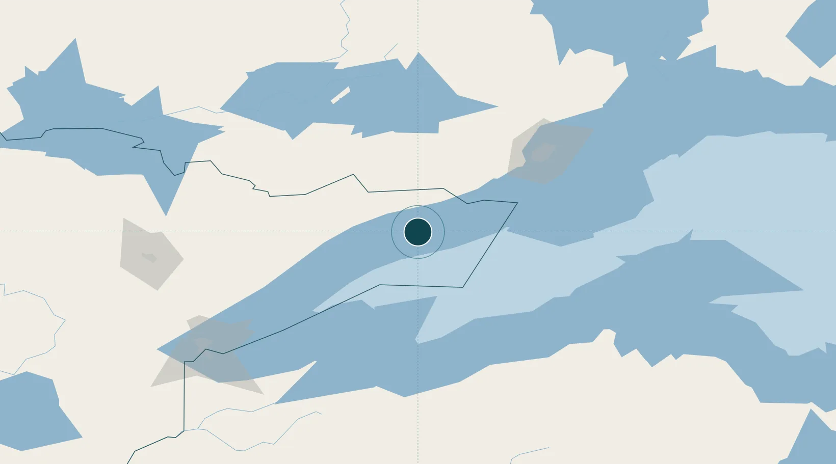
Location
Nearby Logistics Neighbours
Ports
- 1Thunder Bay109 km
- 2Bayfield112 km
- 3La Pointe113 km
- 4Ontonagon122 km
- 5Washburn127 km
Cities
- 1Taconite Harbor51 km
- 2Fort William109 km
- 3Thunder Bay111 km
- 4La Pointe115 km
- 5White Pine125 km
Airports
- 1Thunder Bay International Airport102 km
- 2Ely Municipal Airport112 km
- 3Gogebic Iron County Airport137 km
- 4Atikokan Municipal Airport149 km
- 5Houghton County Memorial Airport153 km
Trade Zones
- 1FTZ No. 051 Duluth182 km
- 2FTZ No. 259 Koochiching County302 km
- 3FTZ No. 119 Minneapolis-St. Paul381 km
- 4FTZ No. 167 Brown County398 km
- 5FTZ No. 016 Sault Ste. Marie470 km
DatabookThe Record of Consolidated Knowledge
United States beyond logistics?