Transport Functions
Port
Road
Hub Profile
Place type
Populated place
Region
Minnesota
Time zone
America/Chicago
Elevation
211 m
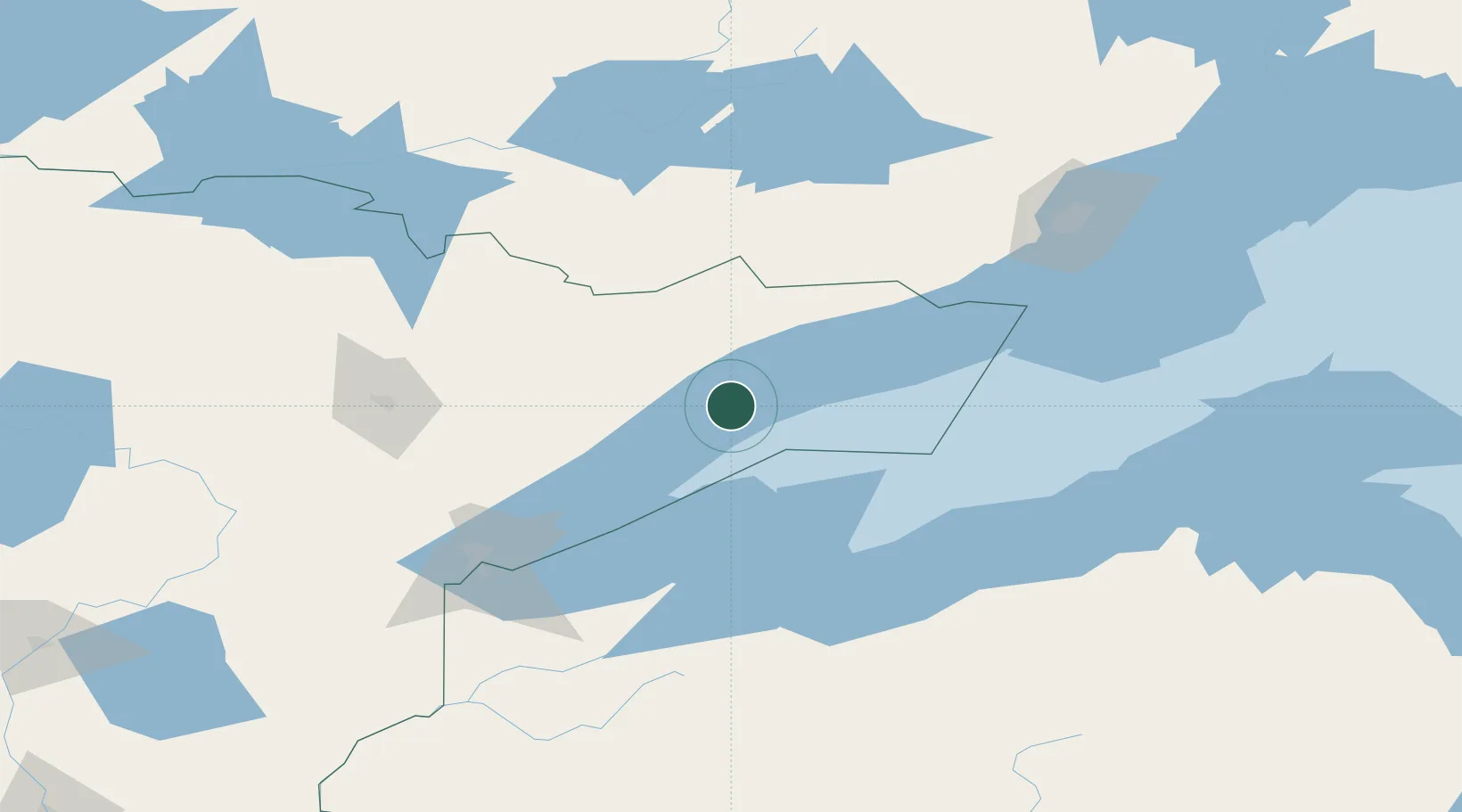
Location
Nearby Logistics Neighbours
Cities
- 1La Pointe84 km
- 2Hoyt Lakes90 km
- 3Aurora99 km
- 4Mason, Bayfield121 km
- 5Virginia123 km
Ports
- 1Grand Marais51 km
- 2Two Harbors78 km
- 3Bayfield80 km
- 4La Pointe82 km
- 5Washburn95 km
Airports
- 1Ely Municipal Airport77 km
- 2Duluth International Airport123 km
- 3Gogebic Iron County Airport125 km
- 4Range Regional Airport145 km
- 5Atikokan Municipal Airport150 km
Trade Zones
- 1FTZ No. 051 Duluth131 km
- 2FTZ No. 259 Koochiching County267 km
- 3FTZ No. 119 Minneapolis-St. Paul335 km
- 4FTZ No. 167 Brown County396 km
- 5FTZ No. 267 Fargo463 km
DatabookThe Record of Consolidated Knowledge
United States beyond logistics?