Medium airport · Canada
Thunder Bay International AirportCYQT
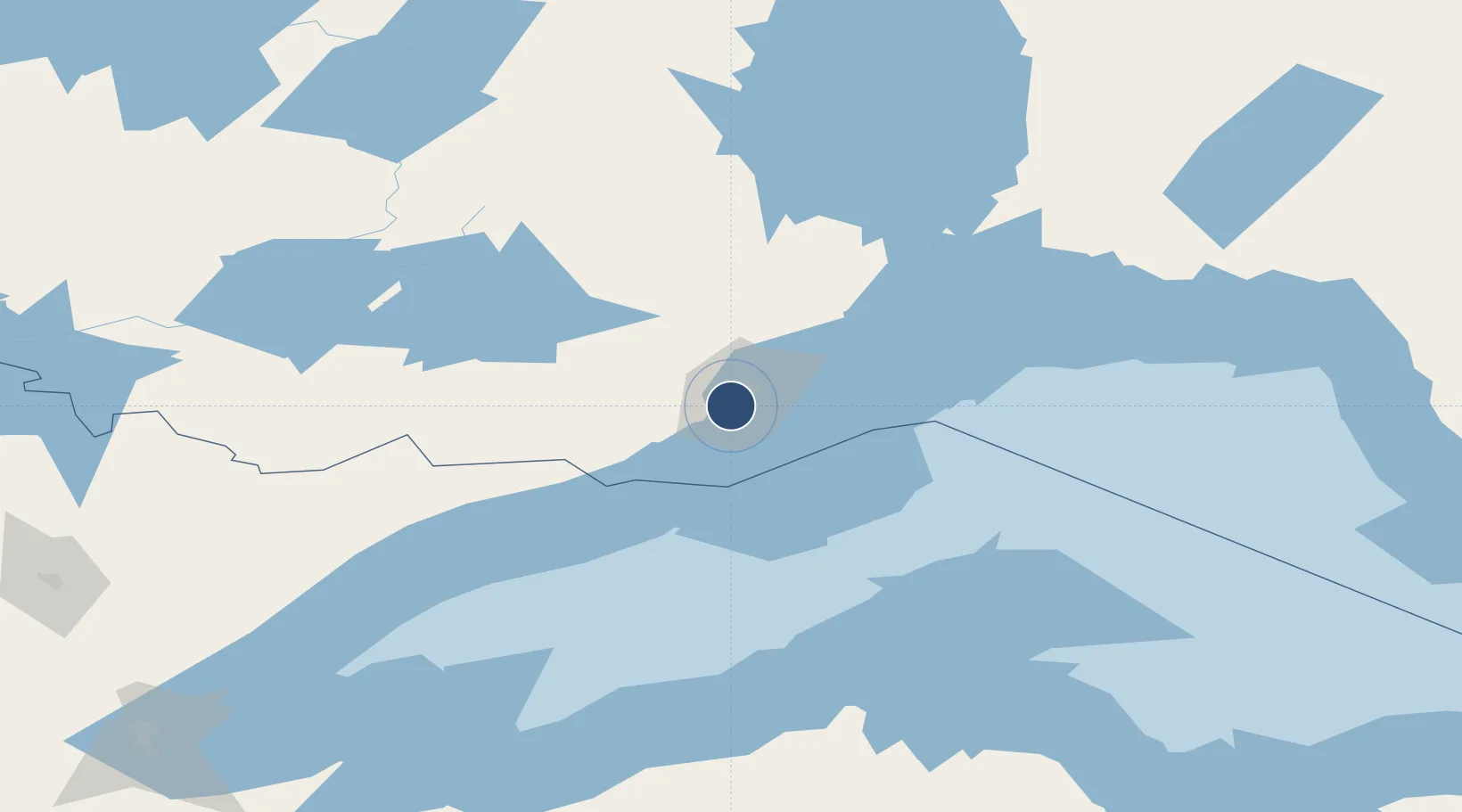
48.3719°, -89.3239°
7,318 ft
Longest runway
2
Runways
653 ft
Elevation
Runway & Layout

Radio Frequencies
ATIS
128.8 MHz
TWR
118.1 MHz
GND
121.9 MHz
A/D
119.2 MHz
APP/DEP
A/G
118.1 MHz
MF
CNTR
132.125 MHz
WINNIPEG CNTR
RCO
122.5 MHz
WINNIPEG RDO
Navaids
QT NDB Thunder Bay 332 kHz
UAU TACAN Mckay 112.50 MHz
YQT VORTAC Thunder Bay 114.10 MHz
ZQT NDB Superior 263 kHz
Runways · 2
| Runway | Dimensions | Surface | True heading | Lit |
|---|---|---|---|---|
| 07/25 | 7,318 × 200ft | Asphalt | 070° | ✓ |
| 12/30 | 5,297 × 150ft | Asphalt | 120° | ✓ |
Airport Specifications
IATA code
YQT
ICAO code
CYQT
Airport class
Medium airport
Scheduled service
Yes
Runway surface
Asphalt
Served city
Thunder Bay
Location
Nearby Logistics Neighbours
Airports
- 1Houghton County Memorial Airport148 km
- 2Atikokan Municipal Airport176 km
- 3Ely Municipal Airport196 km
- 4Ignace Municipal Airport211 km
- 5Gogebic Iron County Airport214 km
Cities
- 1Fort William7 km
- 2Thunder Bay9 km
- 3Red Rock100 km
- 4Rossport142 km
- 5Lake Linden149 km
Ports
- 1Thunder Bay7 km
- 2Grand Marais102 km
- 3Houghton151 km
- 4Ontonagon166 km
- 5Baraga188 km
Trade Zones
- 1FTZ No. 051 Duluth283 km
- 2FTZ No. 259 Koochiching County369 km
- 3FTZ No. 016 Sault Ste. Marie425 km
- 4FTZ No. 167 Brown County442 km
- 5FTZ No. 119 Minneapolis-St. Paul482 km
DatabookThe Record of Consolidated Knowledge
Canada beyond logistics?