Foreign Trade Zone · United States

FTZ No. 051 Duluth Active
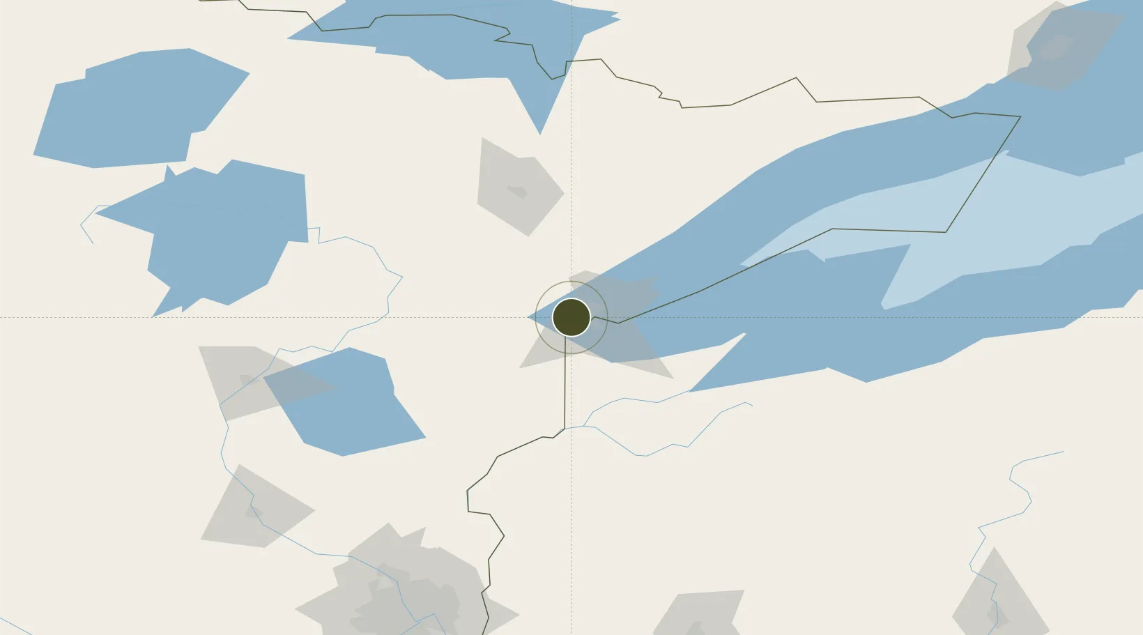
46.7649°, -92.2510°
11.5 km
Nearest port
9.4 km
Nearest airport

Gateway access

Nearest neighbours — logibook spatial index (haversine) over the source coordinates

Zone profile

Zone type
Foreign Trade Zone
Open Zone Map
Region
Minnesota
Open Zone Map
Status
Active
Open Zone Map
Management
Public
Open Zone Map
Operator
Duluth Seaway Port Authority
Open Zone Map
Legal framework
Foreign-Trade Zones Act
Open Zone Map

Location

Location of ozm-4783
Natural Earth 10m (public domain) · Minnesota · ozm-4783 · 46.76, -92.25GoogleOSMYandex

Nearby Logistics Neighbours

Ports
  1. 1Duluth12 km
  2. 2Superior15 km
  3. 3Two Harbors54 km
  4. 4Washburn105 km
  5. 5Ashland107 km
Nearest neighbours — logibook spatial index (haversine) over the source coordinates
Airports
  1. 1Duluth International Airport9 km
  2. 2Range Regional Airport82 km
  3. 3Sawyer County Airport103 km
  4. 4Ely Municipal Airport122 km
  5. 5Brainerd Lakes Regional Airport149 km
Nearest neighbours — logibook spatial index (haversine) over the source coordinates
Cities
  1. 1Duluth11 km
  2. 2Carlton18 km
  3. 3Wrenshall19 km
  4. 4Floodwood53 km
  5. 5McGregor83 km
Nearest neighbours — logibook spatial index (haversine) over the source coordinates
Trade Zones
  1. 1FTZ No. 119 Minneapolis-St. Paul214 km
  2. 2FTZ No. 259 Koochiching County229 km
  3. 3FTZ No. 267 Fargo359 km
  4. 4FTZ No. 103 Grand Forks392 km
  5. 5FTZ No. 167 Brown County401 km
Nearest neighbours — logibook spatial index (haversine) over the source coordinates
DatabookThe Record of Consolidated Knowledge
United States beyond logistics?
Browse databook

All Sources

Trade ZonesOpen Zone Map
CC BY
Portsthe NGA World Port Index
Public domain (US gov)
AirportsOurAirports
Public domain
LocationsUN/LOCODE
UN/LOCODE — free
← United States trade zones