Medium airport · Canada
Armstrong AirportCYYW
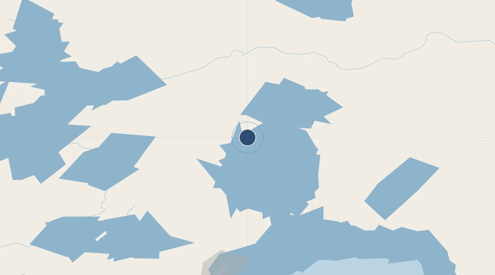
50.2903°, -88.9097°
4,000 ft
Longest runway
2
Runways
1,058 ft
Elevation
Runway & Layout

Radio Frequencies
ATF
122.8 MHz
Navaids
YYW NDB Armstrong 223 kHz
Runways · 2
| Runway | Dimensions | Surface | True heading | Lit |
|---|---|---|---|---|
| 12/30 | 4,000 × 100ft | Asphalt | 117° | ✓ |
| 18/36 | 2,940 × 100ft | Asphalt | 179° | — |
Airport Specifications
IATA code
YYW
ICAO code
CYYW
Airport class
Medium airport
Scheduled service
No
Runway surface
Asphalt
Served city
Armstrong
Location
Nearby Logistics Neighbours
Airports
- 1Geraldton Greenstone Regional Airport152 km
- 2Pickle Lake Airport158 km
- 3Nakina Airport158 km
- 4Fort Hope Airport158 km
- 5Sioux Lookout Airport214 km
Cities
- 1Wellington122 km
- 2Red Rock156 km
- 3Rossport191 km
- 4Thunder Bay211 km
- 5Fort William212 km
Ports
- 1Thunder Bay212 km
- 2Heron Bay262 km
- 3Grand Marais301 km
- 4Houghton354 km
- 5Ontonagon380 km
Trade Zones
- 1FTZ No. 259 Koochiching County451 km
- 2FTZ No. 051 Duluth463 km
- 3FTZ No. 016 Sault Ste. Marie538 km
- 4Winnipegs Centreport Canada588 km
- 5FTZ No. 167 Brown County650 km
DatabookThe Record of Consolidated Knowledge
Canada beyond logistics?