Channel & Berth Profile
Pilotage, Tugs & Services
Pilotage compulsoryYES
Tug assistanceNO
Salvage tugsNO
Potable waterYES
MedicalYES
Facilities & Capabilities
Container—
Ro-Ro—
Liquid bulk—
Dry bulk—
Oil terminal—
Break bulk—
Dry dock—
Repairs—
BunkeringYES
Rail link—
Dangerous cargo—
ISPS security—
Harbour Specifications
Harbour size
Very Small
Harbour type
Coastal (Natural)
Shelter
Fair
Water body
Lake Superior; Great Lakes
Overhead limit
No
Pilotage
Yes
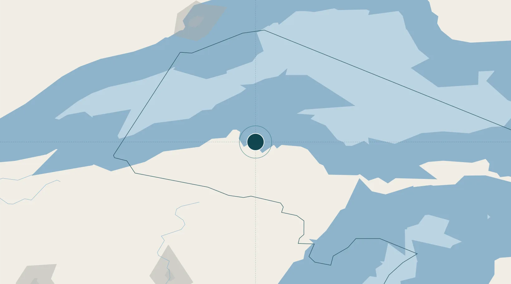
Location
Nearby Logistics Neighbours
Ports
- 1Baraga2 km
- 2Houghton40 km
- 3Ontonagon67 km
- 4Presque Isle86 km
- 5Marquette87 km
Cities
- 1Baraga3 km
- 2Kenton45 km
- 3Lake Linden47 km
- 4Bruce Crossing61 km
- 5Ontonagon63 km
Airports
Trade Zones
- 1FTZ No. 167 Brown County257 km
- 2FTZ No. 051 Duluth288 km
- 3FTZ No. 016 Sault Ste. Marie311 km
- 4FTZ No. 019 Omaha409 km
- 5FTZ No. 041 Milwaukee413 km
DatabookThe Record of Consolidated Knowledge
United States beyond logistics?