Medium airport · United States
Houghton County Memorial AirportKCMX
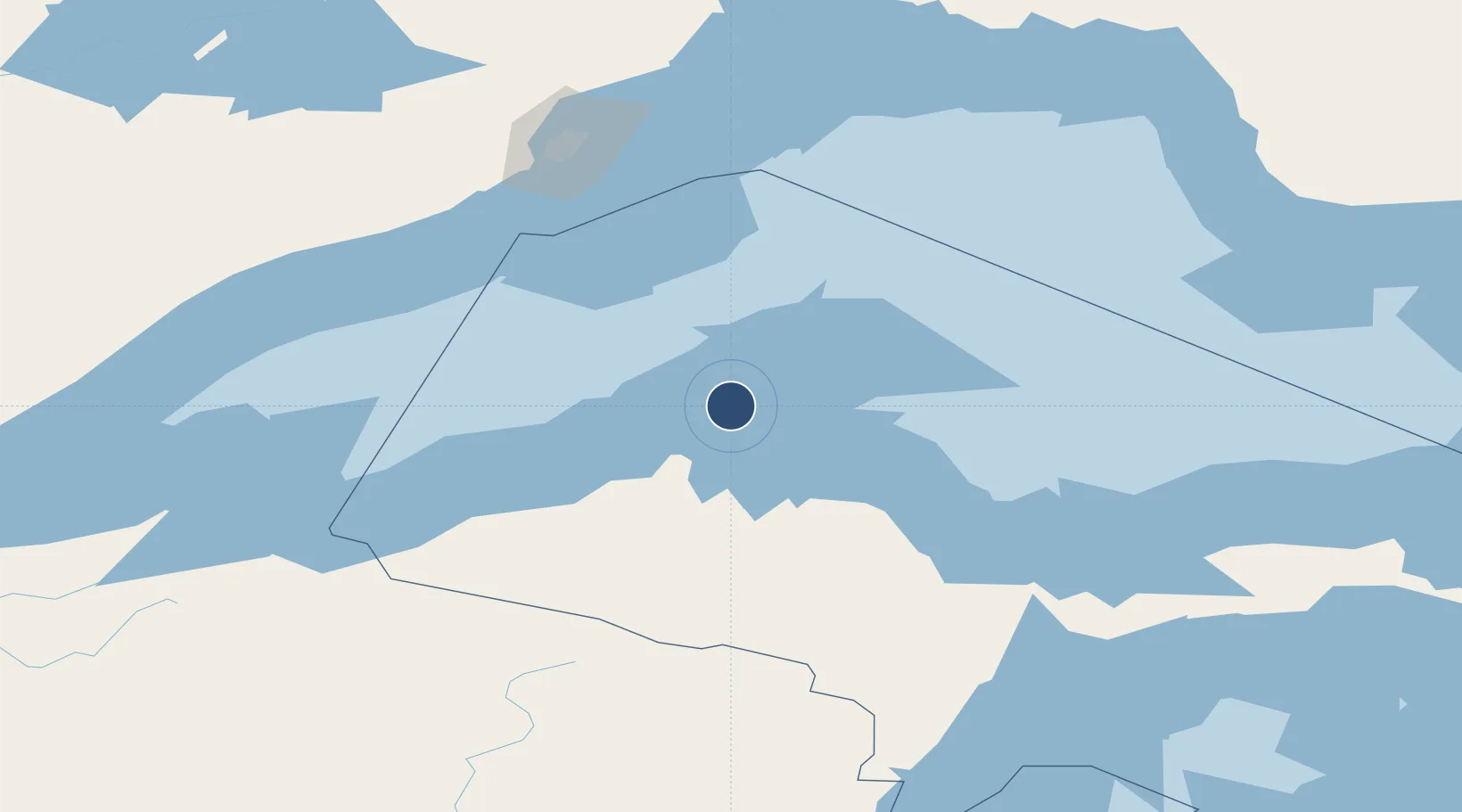
47.1684°, -88.4891°
6,501 ft
Longest runway
2
Runways
1,095 ft
Elevation
Runway & Layout

Radio Frequencies
ASOS
125.675 MHz
CNTR
127.2 MHz
MINNEAPOLIS CNTR
RDO
122.525 MHz
GREEN BAY RDO
UNIC
122.7 MHz
CTAF/UNICOM
Navaids
CM NDB Galey 275 kHz
CMX VOR-DME Houghton 112.80 MHz
Runways · 2
| Runway | Dimensions | Surface | True heading | Lit |
|---|---|---|---|---|
| 14/32 | 6,501 × 150ft | Asphalt | 131° | ✓ |
| 07/25 | 5,201 × 100ft | Asphalt | 067° | ✓ |
Airport Specifications
IATA code
CMX
ICAO code
KCMX
Airport class
Medium airport
Scheduled service
Yes
Runway surface
Asphalt
Served city
Hancock
Location
Nearby Logistics Neighbours
Airports
Cities
- 1Lake Linden7 km
- 2Baraga43 km
- 3Ontonagon69 km
- 4Kenton82 km
- 5Bruce Crossing88 km
Ports
- 1Houghton8 km
- 2Baraga43 km
- 3L Anse45 km
- 4Ontonagon71 km
- 5Presque Isle107 km
Trade Zones
- 1FTZ No. 051 Duluth289 km
- 2FTZ No. 167 Brown County302 km
- 3FTZ No. 016 Sault Ste. Marie320 km
- 4FTZ No. 119 Minneapolis-St. Paul440 km
- 5FTZ No. 019 Omaha452 km
DatabookThe Record of Consolidated Knowledge
United States beyond logistics?