Transport Functions
Port
Rail
Road
Hub Profile
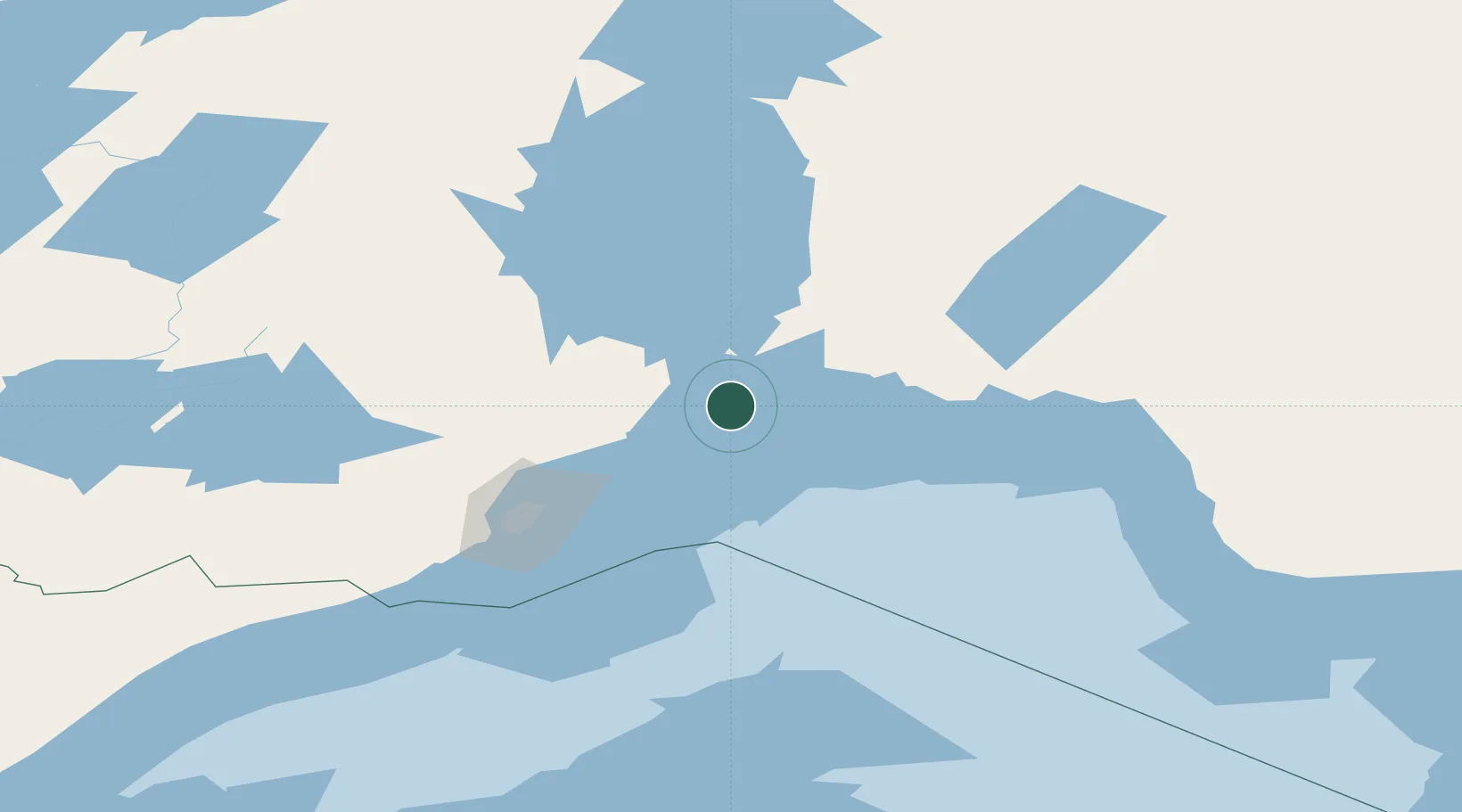
Place type
Populated place
Region
Ontario
Time zone
America/Toronto
Elevation
187 m
Location
Nearby Logistics Neighbours
Cities
- 1Rossport58 km
- 2Wellington78 km
- 3Thunder Bay91 km
- 4Fort William93 km
- 5Lake Linden197 km
Ports
- 1Thunder Bay93 km
- 2Heron Bay148 km
- 3Grand Marais202 km
- 4Houghton205 km
- 5Baraga241 km
Airports
- 1Thunder Bay International Airport100 km
- 2Geraldton Greenstone Regional Airport134 km
- 3Marathon Airport144 km
- 4Armstrong Airport156 km
- 5Nakina Airport179 km
Trade Zones
- 1FTZ No. 051 Duluth383 km
- 2FTZ No. 016 Sault Ste. Marie399 km
- 3FTZ No. 259 Koochiching County450 km
- 4FTZ No. 167 Brown County499 km
- 5FTZ No. 119 Minneapolis-St. Paul581 km
DatabookThe Record of Consolidated Knowledge
Canada beyond logistics?