Channel & Berth Profile
Pilotage, Tugs & Services
Pilotage compulsoryNO
Pilotage availableNO
Tug assistanceNO
Salvage tugsNO
Potable waterYES
MedicalYES
Facilities & Capabilities
Container—
Ro-Ro—
Liquid bulk—
Dry bulk—
Oil terminal—
Break bulk—
Dry dock—
RepairsNO
BunkeringYES
Rail link—
Dangerous cargo—
ISPS security—
Harbour Specifications
Harbour size
Very Small
Harbour type
River (Natural)
Shelter
Good
Water body
Lake Superior; Great Lakes
Overhead limit
Yes
Pilotage
No
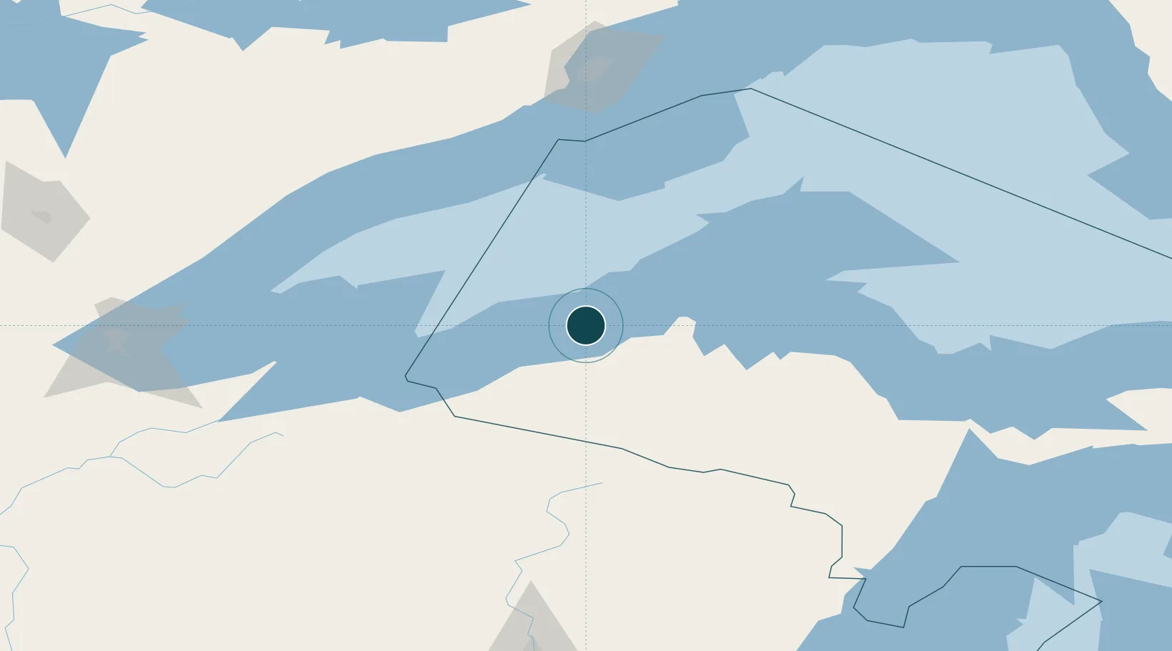
Location
Nearby Logistics Neighbours
Cities
- 1White Pine24 km
- 2Bruce Crossing41 km
- 3Kenton56 km
- 4Baraga64 km
- 5Wakefield65 km
Airports
Trade Zones
- 1FTZ No. 051 Duluth222 km
- 2FTZ No. 167 Brown County282 km
- 3FTZ No. 119 Minneapolis-St. Paul369 km
- 4FTZ No. 016 Sault Ste. Marie378 km
- 5FTZ No. 259 Koochiching County405 km
DatabookThe Record of Consolidated Knowledge
United States beyond logistics?