Foreign Trade Zone · United States

FTZ No. 259 Koochiching County Active
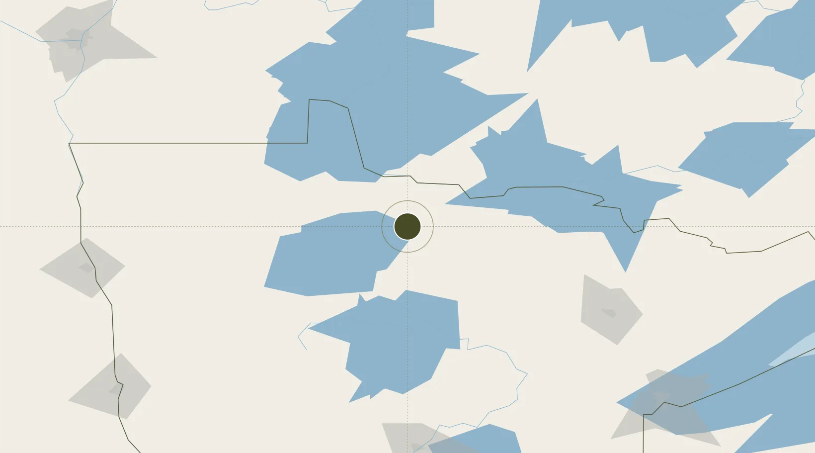
48.2775°, -94.3159°
236.4 km
Nearest port
54.7 km
Nearest airport

Gateway access

Nearest neighbours — logibook spatial index (haversine) over the source coordinates

Zone profile

Zone type
Foreign Trade Zone
Open Zone Map
Region
Minnesota
Open Zone Map
Status
Active
Open Zone Map
Management
Public-Private Partnership
Open Zone Map
Operator
Koochiching Economic Development Authority
Open Zone Map
Legal framework
Foreign-Trade Zones Act
Open Zone Map

Location

Location of ozm-4932
Natural Earth 10m (public domain) · Minnesota · ozm-4932 · 48.28, -94.32GoogleOSMYandex

Nearby Logistics Neighbours

Ports
  1. 1Duluth236 km
  2. 2Superior241 km
  3. 3Two Harbors244 km
  4. 4Grand Marais302 km
  5. 5Bayfield310 km
Nearest neighbours — logibook spatial index (haversine) over the source coordinates
Airports
  1. 1Baudette International Airport55 km
  2. 2Falls International Airport75 km
  3. 3Fort Frances Municipal Airport77 km
  4. 4Bemidji Regional Airport97 km
  5. 5Thief River Falls Regional Airport141 km
Nearest neighbours — logibook spatial index (haversine) over the source coordinates
Cities
  1. 1Emo52 km
  2. 2Blackduck65 km
  3. 3Williams72 km
  4. 4Fort Frances77 km
  5. 5Deer River114 km
Nearest neighbours — logibook spatial index (haversine) over the source coordinates
Trade Zones
  1. 1FTZ No. 103 Grand Forks216 km
  2. 2FTZ No. 051 Duluth229 km
  3. 3FTZ No. 267 Fargo254 km
  4. 4Winnipegs Centreport Canada273 km
  5. 5FTZ No. 119 Minneapolis-St. Paul377 km
Nearest neighbours — logibook spatial index (haversine) over the source coordinates
DatabookThe Record of Consolidated Knowledge
United States beyond logistics?
Browse databook

All Sources

Trade ZonesOpen Zone Map
CC BY
Portsthe NGA World Port Index
Public domain (US gov)
AirportsOurAirports
Public domain
LocationsUN/LOCODE
UN/LOCODE — free
← United States trade zones