Medium airport · United States
Ely Municipal AirportKELO
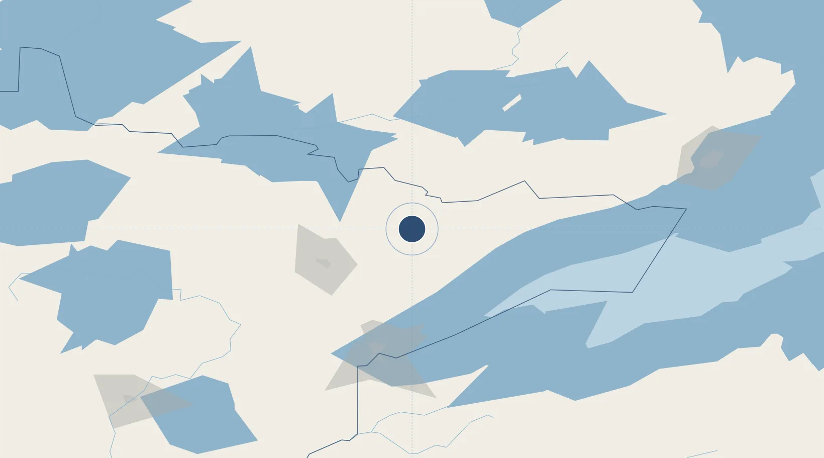
47.8245°, -91.8307°
5,596 ft
Longest runway
1
Runways
1,456 ft
Elevation
Runway & Layout

Radio Frequencies
AWOS
132.025 MHz
AWOS 3
RDO
109.6 MHz
PRINCETON RDO
UNIC
122.8 MHz
CTAF/UNICOM
Navaids
ELO VOR-DME Ely 109.60 MHz
Runways · 1
| Runway | Dimensions | Surface | True heading | Lit |
|---|---|---|---|---|
| 12/30 | 5,596 × 100ft | Asphalt | 120° | ✓ |
Airport Specifications
IATA code
LYU
ICAO code
KELO
Airport class
Medium airport
Scheduled service
No
Runway surface
Asphalt
Served city
Ely
Location
Nearby Logistics Neighbours
Airports
- 1Range Regional Airport90 km
- 2Atikokan Municipal Airport107 km
- 3Duluth International Airport113 km
- 4Falls International Airport143 km
- 5Fort Frances Municipal Airport151 km
Cities
- 1Hoyt Lakes40 km
- 2Aurora46 km
- 3Cook64 km
- 4Virginia64 km
- 5Mountain Iron67 km
Ports
- 1Two Harbors91 km
- 2Grand Marais112 km
- 3Duluth119 km
- 4Superior123 km
- 5Bayfield137 km
Trade Zones
- 1FTZ No. 051 Duluth122 km
- 2FTZ No. 259 Koochiching County192 km
- 3FTZ No. 119 Minneapolis-St. Paul335 km
- 4FTZ No. 103 Grand Forks399 km
- 5FTZ No. 267 Fargo402 km
DatabookThe Record of Consolidated Knowledge
United States beyond logistics?