Transport Functions
Port
Road
Multimodal
Hub Profile
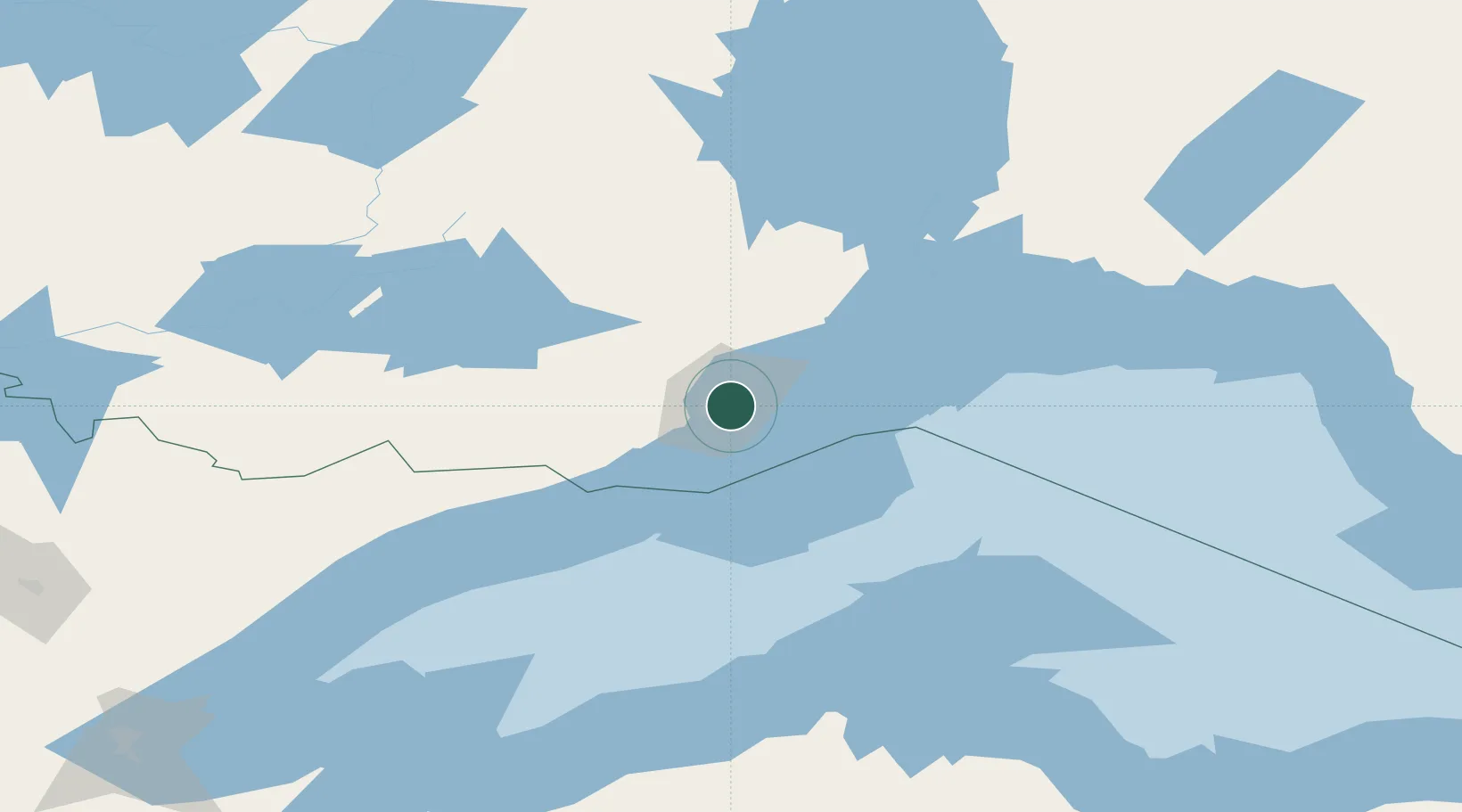
Place type
Populated place
Region
Quebec
Time zone
America/Toronto
Elevation
116 m
Location
Nearby Logistics Neighbours
Cities
- 1Thunder Bay1 km
- 2Red Rock93 km
- 3Rossport135 km
- 4Lake Linden149 km
- 5Taconite Harbor159 km
Ports
- 1Thunder Bay0 km
- 2Grand Marais109 km
- 3Houghton151 km
- 4Ontonagon169 km
- 5Baraga188 km
Airports
- 1Thunder Bay International Airport7 km
- 2Houghton County Memorial Airport148 km
- 3Atikokan Municipal Airport182 km
- 4Ely Municipal Airport203 km
- 5Armstrong Airport212 km
Trade Zones
- 1FTZ No. 051 Duluth290 km
- 2FTZ No. 259 Koochiching County376 km
- 3FTZ No. 016 Sault Ste. Marie421 km
- 4FTZ No. 167 Brown County444 km
- 5FTZ No. 119 Minneapolis-St. Paul489 km
DatabookThe Record of Consolidated Knowledge
Canada beyond logistics?