UN/LOCODE hub · United States
USLL7
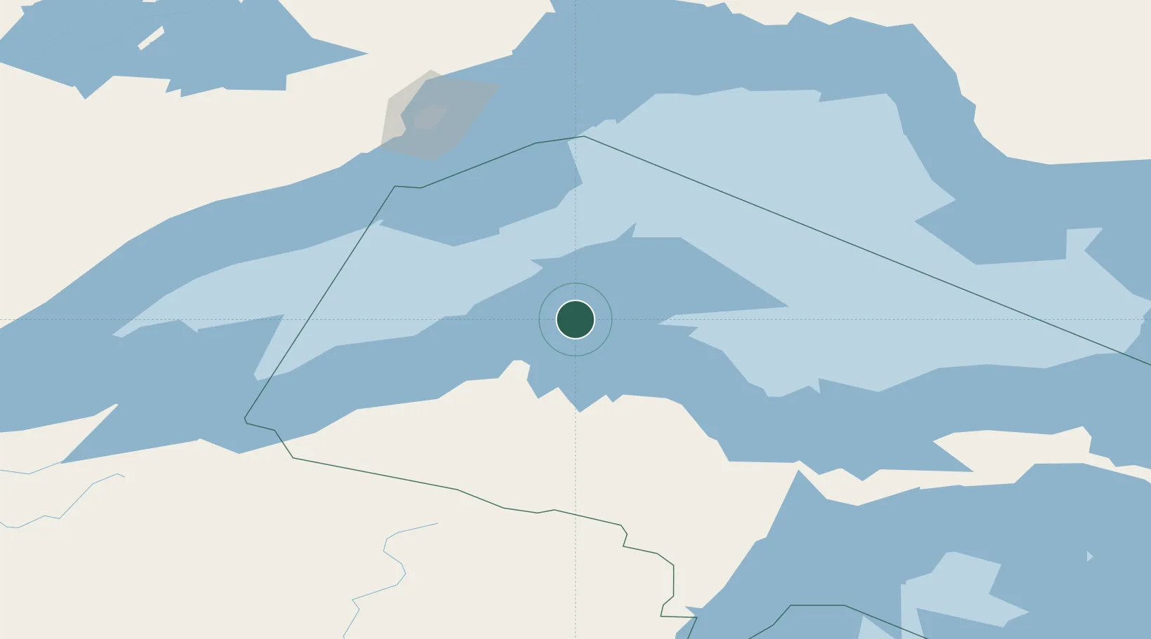
Lake Linden
47.1833°, -88.4000°
989
Population
2
Transport functions
Transport Functions
Road
Multimodal
Hub Profile
Place type
Populated place
Region
Michigan
Population
989
Time zone
America/Detroit
Elevation
189 m
Location
Nearby Logistics Neighbours
Cities
- 1Baraga45 km
- 2Ontonagon76 km
- 3Kenton86 km
- 4Bruce Crossing94 km
- 5White Pine102 km
Ports
- 1Houghton15 km
- 2Baraga45 km
- 3L Anse47 km
- 4Ontonagon78 km
- 5Presque Isle103 km
Airports
Trade Zones
- 1FTZ No. 051 Duluth296 km
- 2FTZ No. 167 Brown County303 km
- 3FTZ No. 016 Sault Ste. Marie313 km
- 4FTZ No. 119 Minneapolis-St. Paul447 km
- 5FTZ No. 019 Omaha451 km
DatabookThe Record of Consolidated Knowledge
United States beyond logistics?