Medium airport · Canada
Atikokan Municipal AirportCYIB
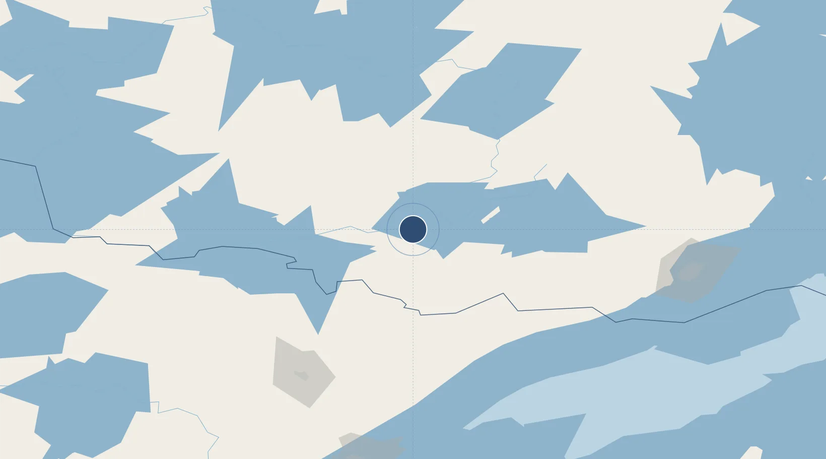
48.7739°, -91.6386°
3,500 ft
Longest runway
1
Runways
1,408 ft
Elevation
Runway & Layout

Radio Frequencies
A/G
122.3 MHz
MF
ATF
122.3 MHz
RCO
123.275 MHz
WINNIPEG RDO
Navaids
IB NDB Atikokan 209 kHz
Runways · 1
| Runway | Dimensions | Surface | True heading | Lit |
|---|---|---|---|---|
| 04/22 | 3,500 × 100ft | Asphalt | 039° | ✓ |
Airport Specifications
IATA code
YIB
ICAO code
CYIB
Airport class
Medium airport
Scheduled service
No
Runway surface
Asphalt
Served city
Atikokan
Location
Nearby Logistics Neighbours
Airports
- 1Ignace Municipal Airport73 km
- 2Ely Municipal Airport107 km
- 3Falls International Airport132 km
- 4Fort Frances Municipal Airport133 km
- 5Dryden Regional Airport142 km
Cities
- 1Cook129 km
- 2Fort Frances131 km
- 3Hoyt Lakes144 km
- 4Aurora147 km
- 5Taconite Harbor150 km
Ports
- 1Grand Marais149 km
- 2Thunder Bay182 km
- 3Two Harbors195 km
- 4Duluth226 km
- 5Bayfield228 km
Trade Zones
- 1FTZ No. 259 Koochiching County205 km
- 2FTZ No. 051 Duluth228 km
- 3Winnipegs Centreport Canada417 km
- 4FTZ No. 103 Grand Forks420 km
- 5FTZ No. 119 Minneapolis-St. Paul440 km
DatabookThe Record of Consolidated Knowledge
Canada beyond logistics?